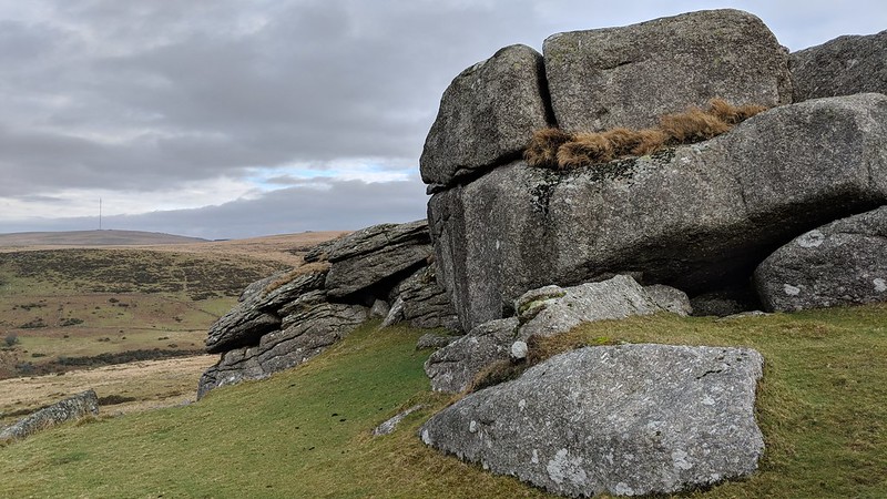
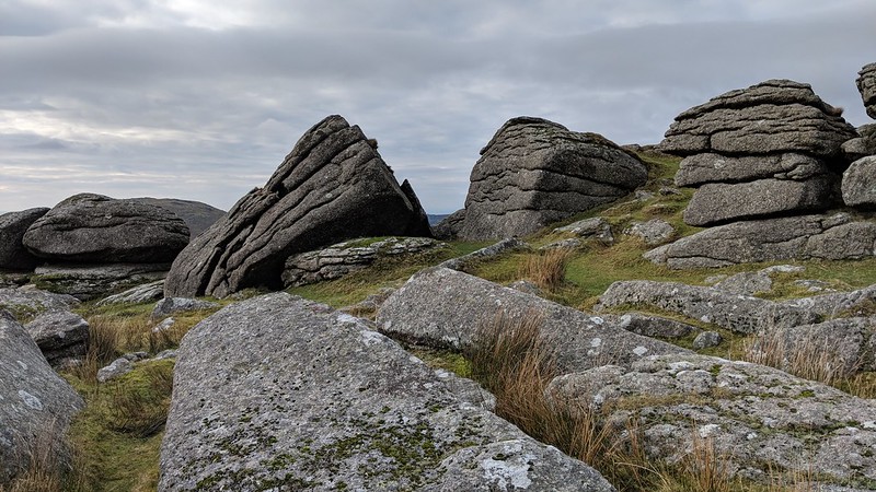
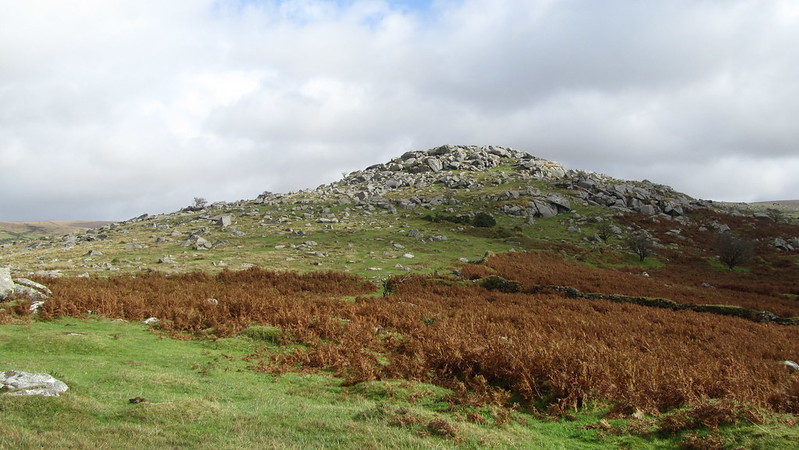
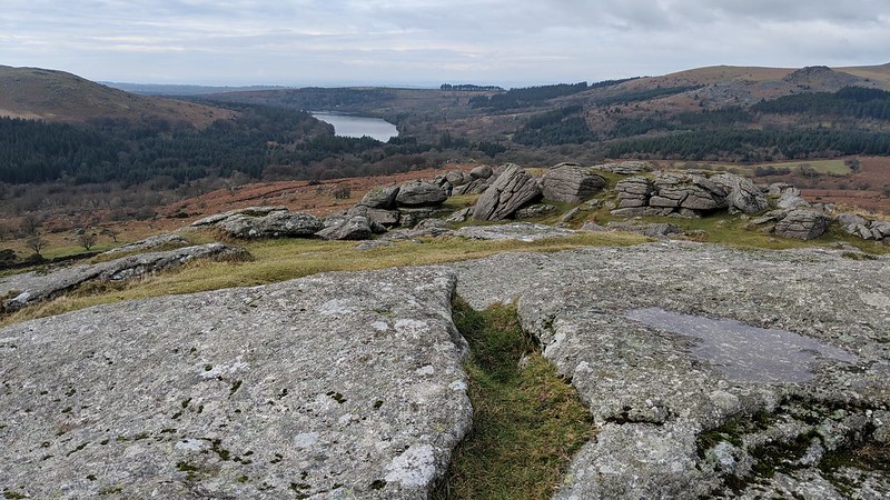
A stunning tor, a large expanse of huge granite, with some of the best views of the national park, looking across to Burrator Reservoir.
Hemery says the slopes of, "Down Tor (1,200 feet) are clittered to a remarkable degree (similar to Vur Tor, Tavy). Numerous huge slabs, lowered upon previous deposits by melting ice (ref. 'Clitter') are poised in an unconvincing state of balance - their apparent instability discounted by their having occupied such positions for up to thirteen thousand years."
Down Tor
The map above is not a navigation tool and we recommend that the grid reference shown below is used in conjunction with an Ordnance Survey map and that training in its use with a compass is advised.
Grid Ref:
SX 5804 6942
Height:
366m
Parish:
Walkhampton
Tor Classification:
Spur
Access:
Public
Rock Type:
Granite
Credit:
Ordnance Survey
Reference / Further Reading:
Ordnance Survey Maps Eric Hemery: High Dartmoor
Please Support Us
We are proud to see the names of lesser-known tors are now being used more commonly on other websites and whilst this is to be encouraged we do request that, should you wish to use the information on this page, you provide a backlink to the website as reference, by copying the relevant address:
Please also consider a small donation to the upkeep of the site; any contribution goes toward the fees to keep the database online and any costs incurred when undertaking research such as subscriptions to online archives.