TORS OF DARTMOOR
a database of both lesser- & well-known rocks and outcrops
Dry Lake Rocks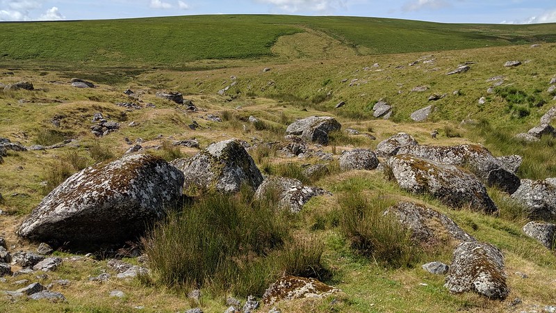 The name of this lesser known rock field first appears in Crossing's Guide to Dartmoor when during an excursion to Red Lake Ford the author explains that Dry Lake Rocks are set below a grass covered gully known as Middle Mires where a rivulet named Hux Lake rises in the lower part. 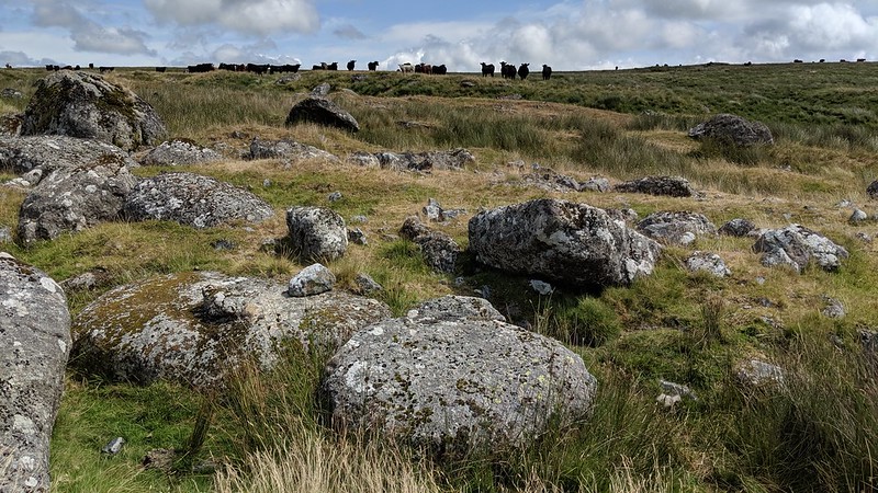 Eric Hemery provides a little more detail 'The little Hux Lake its mire fed by a peaty depression on Green Hill falls to the Erme through a hidden combe under Dry Lake Rocks the greater mass of these lying on the west side of the valley.' Here we find the deep gouge of a tinner's gert marked as Dry Lake on OS maps with what is an impressive sprawl of granite boulders seemingly tossed up and bared by the excavations. The rocks are scattered across the combe but whilst the biggest ones are indeed concentrated on the west side they are of no great height. 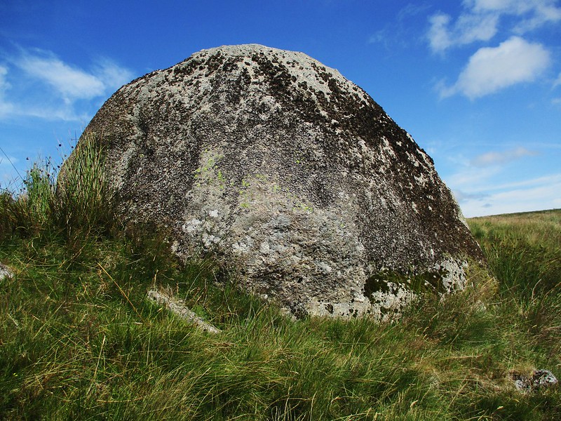 One of the better looking rocks can be found a little higher in the combe a huge domed boulder at SX 6353 6697. The remains of at least two tinner's huts can still be seen in the workings along with a medieval tinner's cache, a man made structure that was often in the shape of a beehive and used to wall in a natural cavity, the caches could then be used to conceal and store food. 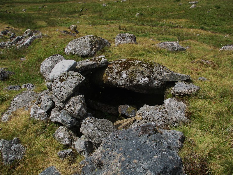
| ||||||||||||||||||||||||||||