TORS OF DARTMOOR

a database of both lesser- & well-known rocks and outcrops

Home Search Map The East Access About Team Social Blog

Durance Rocks

Wigford Rock

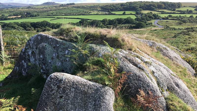
Peter Freeman pointed out this modest outcrop on Wigford Down and further investigation of the Tithe Map for the Parish of Meavy discovered it was called Durance Rocks.

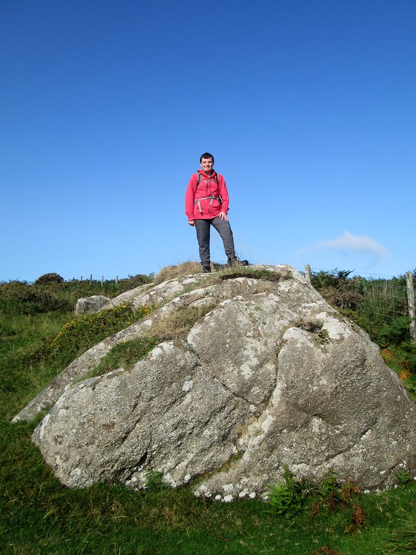
Hemery mentions this small tor but, surprisingly, fails to name it; "A short way down the north-east slope is a rock outcrop and near it a junction of reaves..."

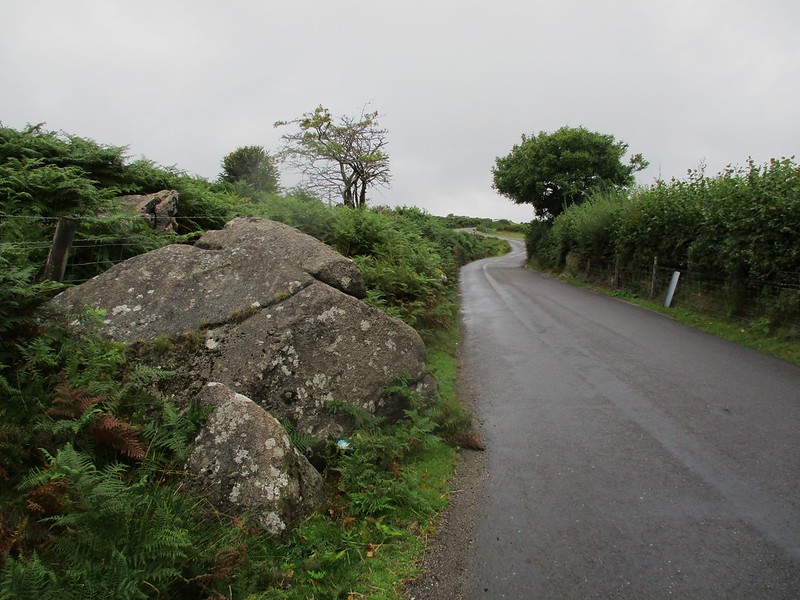
Around the edge of Durance Rocks there are set at least four boundary markers each inscribed with the letters 'BA'. Dave Brewer (2002) page 237 states 'In 1906 the Drake family still owned both the abbey and Durance Farm and that the markers (BA stones) were Buckland Estate boundary markers defining the extent of the abbey's land at Durance'.
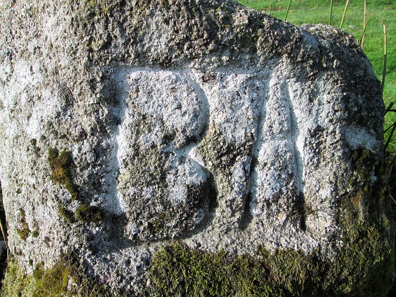
icon
icon
Durance Rocks
The map above is not a navigation tool and we recommend that the grid reference shown below is used in conjunction with an Ordnance Survey map and that training in its use with a compass is advised.
Grid Ref:
SX 5498 6523
Height:
260m
Parish:
Meavy
Tor Classification:
Small
Access:
Public
Rock Type:
Granite
Credit:
Tithe Map of the Parish of Meavy
Peter Freeman (rediscovered)
Reference / Further Reading:
Devon Heritage Centre: Tithe Map of the Parish of Meavy
Dave Brewer (2002): Dartmoor Boundary Markers and other markers on and around the moor. Halsgrove

Please Support Us

We are proud to see the names of lesser-known tors are now being used more commonly on other websites and whilst this is to be encouraged we do request that, should you wish to use the information on this page, you provide a backlink to the website as reference, by copying the relevant address:

https://www.torsofdartmoor.co.uk/tor-page.php?tor=durance-rocks

Please also consider a small donation to the upkeep of the site; any contribution goes toward the fees to keep the database online and any costs incurred when undertaking research such as subscriptions to online archives.