TORS OF DARTMOOR

a database of both lesser- & well-known rocks and outcrops

Home Search Map The East Access About Team Social Blog

Dury Farm Rocks

Stannets Rocks

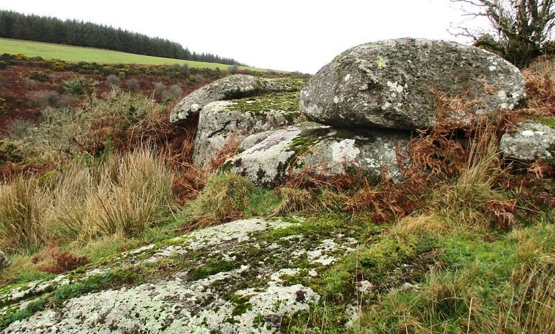
First described by Sanders and Watson (1996), this is a small pile scattered either side of farm enclosure walls on the east side of the East Dart River and to the west of Dury Farm.

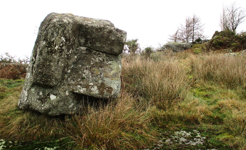
There are some fair sized boulders at this spot and a large flat outcrop.

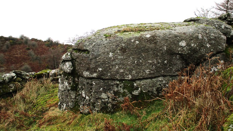
The plantation in which they lie is recorded as Stannets on the Tithe Map so an alternative name of Stannets Rocks would seem appropriate.
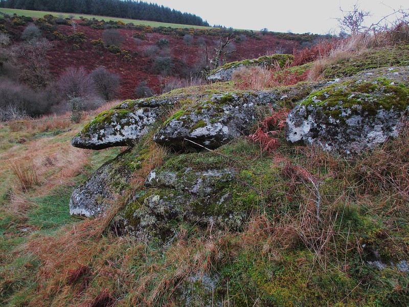
icon
icon
Dury Farm Rocks
The map above is not a navigation tool and we recommend that the grid reference shown below is used in conjunction with an Ordnance Survey map and that training in its use with a compass is advised.
Grid Ref:
SX 6578 7800
Height:
320m
Parish:
Dartmoor Forest
Tor Classification:
Valley Side
Access:
Public
Rock Type:
Granite
Credit:
Alan Watson
Dr. Peter Sanders
Reference / Further Reading:
Dr. Peter Sanders and Alan Watson: Tors List 380 Tors Visitations (published privately)

Please Support Us

We are proud to see the names of lesser-known tors are now being used more commonly on other websites and whilst this is to be encouraged we do request that, should you wish to use the information on this page, you provide a backlink to the website as reference, by copying the relevant address:

https://www.torsofdartmoor.co.uk/tor-page.php?tor=dury-farm-rocks

Please also consider a small donation to the upkeep of the site; any contribution goes toward the fees to keep the database online and any costs incurred when undertaking research such as subscriptions to online archives.