TORS OF DARTMOOR
a database of both lesser- & well-known rocks and outcrops
East Mill TorEast Mil Tor 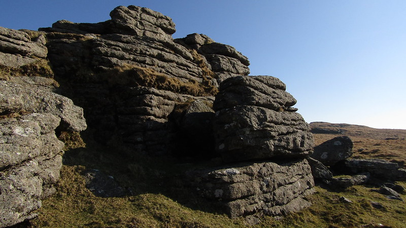 The upper reach of the East Okement River is dominated by a massive hill that is crowned with East Mill Tor, a large tor comprising several distinct outcrops that are spread far and wide about the hilltop. Although the name of 'East Mill Tor' is displayed on Ordnance Survey Maps it is actually a misnomer as it should be spelt with one 'l' as 'Mil', a name which is derived from 'Middle Hill' this being the tor on the Middle Hill, with 'Mil' being the acceptable corruption. Eric Hemery (1983) is keen to correct this mistake proclaiming that "The spelling used here is found consistently in the writings of Rowe, Crossing, Eden Phillpotts and St Leger-Gordon." When approaching from the north, the tor takes on the shape of a rugged cone that is strewn with granite; indeed, perhaps the northern outcrops which are seen to good advantage from here, at SX 5987 9014, are the most impressive, culminating in pronounced outcrops that contain marked horizontal jointings. The wondrous clitter beneath is indicative of the former magnitude. 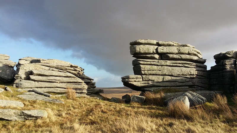 Heading southward, climbing on a path, you reach the summit of the tor at SX 5993 8987 that consists of a low, flat area of bedrock which is a marked contrast to the northern section. It possesses OP 10, North, an Observation Post that is set here for the purpose of observing and controlling military manoeuvres in the vicinity of the Okehampton Firing Range. Views can only be described as stupendous, embracing most of East Okement Country but also that of the Black-a-ven Brook to the west and north; elsewhere are seen tors of great prominence, notably Yes Tor to the west and the Belstone Ridge to the north-east; Oke Tor's clitter is also remarkable from this vantage point and beyond it is the dome of Cosdon; southward the ground begins to rise to the large, but rather featureless Okement Hill, gateway to the northern fen. 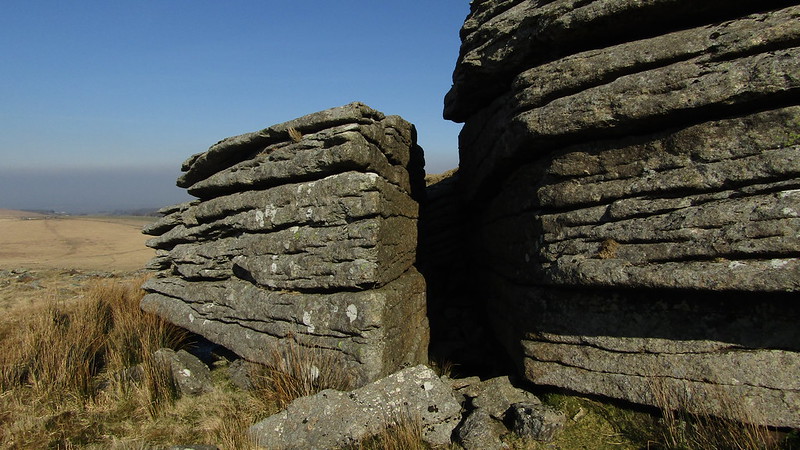 The tor briefly plateaus out until the southernmost piles are reached at SX 5994 8967; these are noticeably different to those already visited, comprising several upstanding outcrops above a hidden cliff that is best seen from the underside (the south). This broken and heavily weathered section provides a good view of the military road twisting and turning as it approaches Okement Hill. 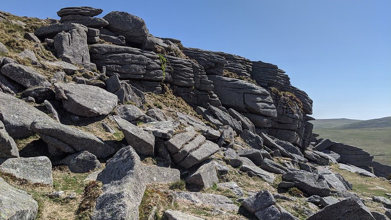 Bound (1991) states that East Mill's "Many scattered piles and rock masses" cover "over 300 metres north to south" and on reflection we have a tor here of magnificent proportions and a full exploration is recommended.
| ||||||||||||||||||||||||||||||