TORS OF DARTMOOR

a database of both lesser- & well-known rocks and outcrops

Home Search Map The East Access About Team Social Blog

Ellimore Tor

Ellimore Rock, Lower Rock Park

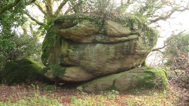
A grand small tor that was first identified by Steve Jenkins can be seen on the hillside above Ellimore Farm on the road to Hammerslake.

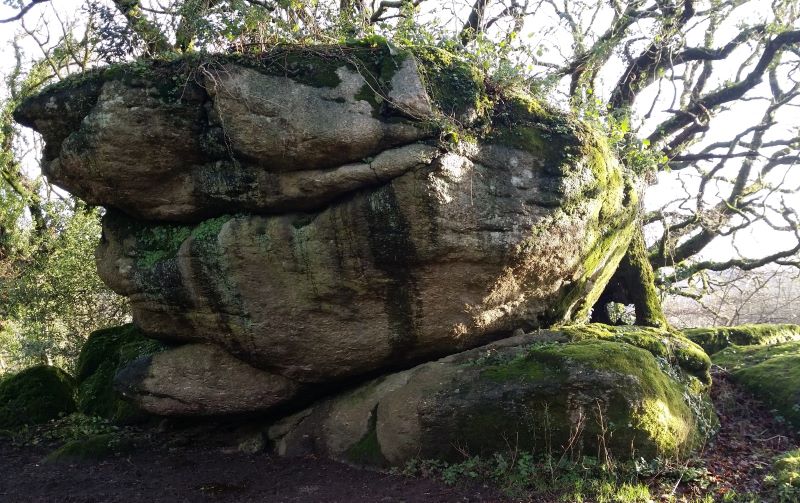
The upper part is the most impressive with further rocks extending through the trees below. Although in private enclosures the tor is clearly visible from the road so no need to try and access the site

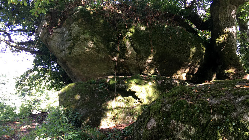
The area is shown as 'Lower Rock Park' on the Tithe Map of 1836-46.
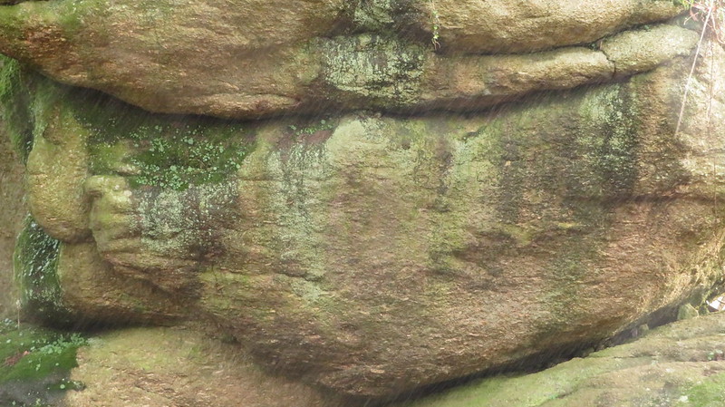
icon
icon
Ellimore Tor
The map above is not a navigation tool and we recommend that the grid reference shown below is used in conjunction with an Ordnance Survey map and that training in its use with a compass is advised.
Grid Ref:
SX 7759 8146
Height:
172m
Parish:
Lustleigh
Tor Classification:
Small
Access:
Private (but visible from public land)
Rock Type:
Granite
Credit:
Steve Jenkins
Reference / Further Reading:
Tim Jenkinson (2015): Dartmoor Discovered: Lustleigh's Tors and Rocks Dartmoor Magazine Number 120 Autumn p. 40-41
Devon County Council: Tithe Map of the Parish of Lustleigh

Please Support Us

We are proud to see the names of lesser-known tors are now being used more commonly on other websites and whilst this is to be encouraged we do request that, should you wish to use the information on this page, you provide a backlink to the website as reference, by copying the relevant address:

https://www.torsofdartmoor.co.uk/tor-page.php?tor=ellimore-tor

Please also consider a small donation to the upkeep of the site; any contribution goes toward the fees to keep the database online and any costs incurred when undertaking research such as subscriptions to online archives.