TORS OF DARTMOOR
a database of both lesser- & well-known rocks and outcrops
Emsworthy RocksFitches' Holt, Whortleberry Rock, Omsworthy 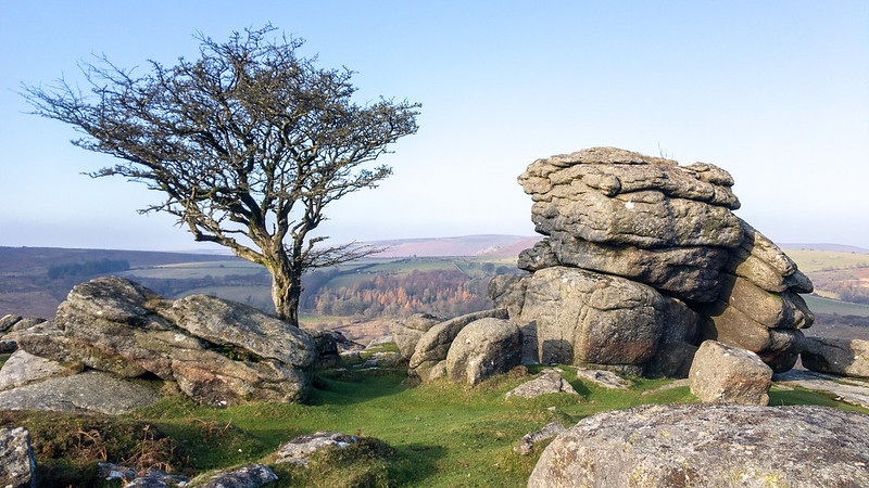 Nowhere was the omission of a tor from Ordnance Survey (OS) Maps more glaring than with that of Emsworthy Rocks, a huge elongated ridge of giant granite outcrops roughly halfway between Holwell Tor and Saddle Tor. The rocks spread for around 400 metres on an east-west axis and a couple of outcrops are given individual identities by Eric Hemery: Fitches' Holt and Whortleberry Rock. It is unknown which outcrop the latter name refers to but it could be attributed to any of the several along this lengthy ridge of granite. The author describes the area as a "wild scattering of rocks" but, despite the prominence of these outcrops, previous commentator William Crossing appears to have overlooked them during his explorations. 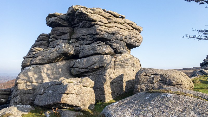 The tor is among the largest in the vicinity and rivals its neighbours Holwell Tor and Saddle Tor to the north and south. Particularly impressive when viewed from the Emsworthy enclosures below, the tor presents from this perspective a broken spine of weather-beaten outcrops casting a substantial clitter on the slopes above the old walls, and there are breathtaking views towards Hound Tor Combe. The upper outcrops show evidence of feather and tare marks and there are no less than three small quarries on the eastern, higher side below the flat summit where, close by, there are signs of abandoned rails; these are now mostly obscured once lining a branch of the disused tramway that begins below Emsworthy Rocks and transported granite off the moor for commercial use. A fine example was noted by Tim Jenkinson at SX 75316 76941 and another further west by Max Piper at SX 74963 77114. On the south slope lies the historic boundary between land owned by Ilsington and Bagtor Manors which is denoted by boundary rocks and stones inscribed 'I' and 'B'. Also on this side resides an abandoned millstone at SX 74982 76803. 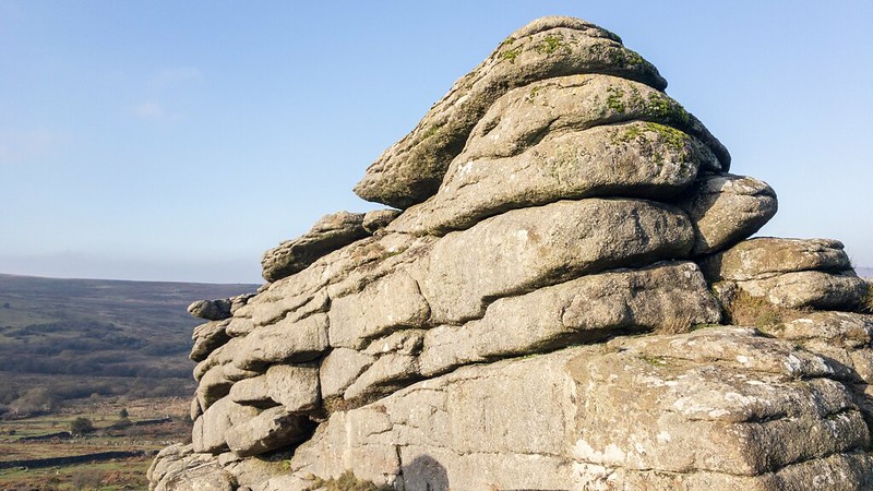 One of the lowest piles of the tor has become famous for its hawthorn tree, a fine backdrop and focal point for composition and popular with photographers who will often accidentally mistake it as part of either Holwell Tor or Saddle Tor despite both locations being at least 500 metres away from Emsworthy Rocks. More worryingly is that even Holwell Rocks has been incorrectly attached to this feature in spite of that rockpile residing across the Becka Brook above Holwell Farm! The tree has become commonplace in several Dartmoor calendars and postcards. This outcrop at the western end possesses a plughole rock basin where weathering at a thin section of the granite has caused the rock to weaken and puncture. 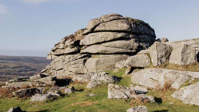 For so long Emsworthy Rocks had failed to receive the recognition it deserved on OS Maps, but in December 2022 all of that changed when the name was added to both 1,25:000K and 1,50:000K maps after Max Piper's involvement. Max contacted the OS about the alarming omission explaining Hemery's previous reference from 1983, and to his surprise the company obliged and the acceptance of this grand tor onto maps has finally been realised.
| ||||||||||||||||||||||||||||||