TORS OF DARTMOOR
a database of both lesser- & well-known rocks and outcrops
Fishcombe Water Rocks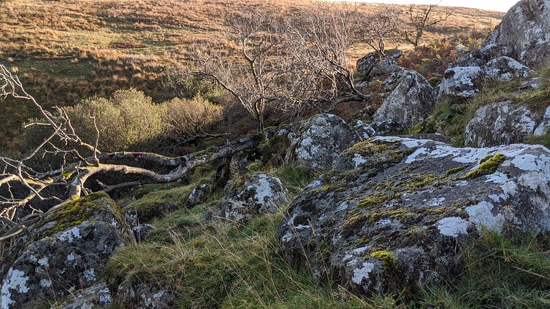 Wedged between Homerton and Longstone Hills on north Dartmoor can be found a beautiful, deep combe hidden from above. This is what is known as Fishcombe or Fish Combe and from the Meldon Reservoir path below at the wooden footbridge you can see a large sprawl of granite rocks at the top. The view downhill is spectacular, a proper Dartmoor view, a breathless vista showing how well the Meldon Lake now fits within the landscape. The highest part of Fishcombe Lake is strewn with granite boulders and trees through which the water tumbles in a series of falls and cascades spilling downstream to where the foot of the stream is now completely absorbed into the great man made lake from the 1970s. 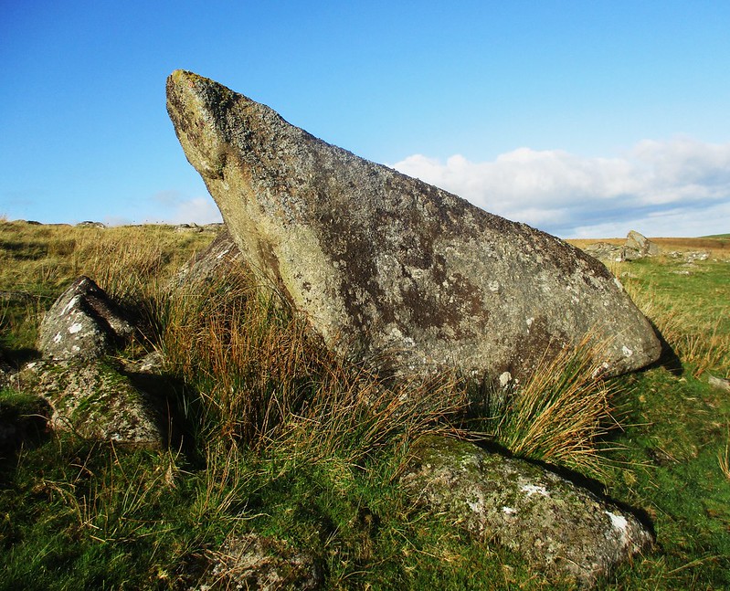 The area is briefly described by William Crossing in his Guide; "On crossing the Redaven we shall leave the Ockment and ascend Longstone Hill L., by following the upward track (T. 33). When it bends sharply L. we leave it, and striking a little E. of S. shall soon reach the Fishcombe Water, often called the Homerton Brook. This stream we shall then follow to its source, a charming spot named Fishcombe Head, where a few dwarf oaks grow among scattered rocks, and at a considerable height above the gorge." However, what is misleading is that he says the source of the stream is here, where the rocks are, when it is actually below Fordsland Ledge as Eric Hemery remarks as "...a tributary almost twice as long as it is shown to be on OS maps". 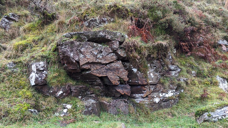 When approaching from below, following the watercourse upstream, you will notice minor crags situated in the valley-bottom, the one at SX 56397 90711 being the most obvious as seen above. Other exposures of rock can be observed at SX 5633 9074 (not shown). The bedrock in this area is metamorphic despite the clitter above being of granite; the rocks likely tumbled down the hill from the granite tors on high. In winter months a fine waterfall (also not shown) can be located which is almost completely obscured by the oaks; and, when standing at the head of Fishcombe, you will be able to observe the valley's peculiar shape which Hemery likens to "...a small glacial moraine". 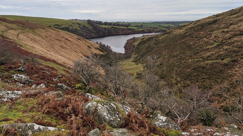
| ||||||||||||||||||||||||||||