TORS OF DARTMOOR
a database of both lesser- & well-known rocks and outcrops
Frenchbeer RockFrenchbeer Tor, Frenchbere Tor, Frenchbere Rock 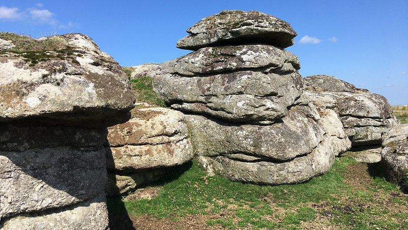 Crossing (1912) and Hemery (1983) both describe this pile as a tor, yet the Ordnance Survey mark it as a 'rock'. It is not quite clear when it became known as such, or why, for at SX 672 854 there is a sturdy, compact group of rocks of mostly square and oblong construction, that are quite clearly more than just a single block. Around and upon the tor, there are several interesting features. To begin with, on the west side there is an ivy topped rock face of some height and at the summit point of the tor a rounded rock with a small rock basin can be found. Following up Hemery's description of the miniature phenomenon, it was surprising to find that the dimensions he offers for the width and depth of the basin, namely 11" in diameter and 2" deep, are in our opinion an overestimation. The basin is quite a bit smaller than this, closer to 8" and one inch respectively. 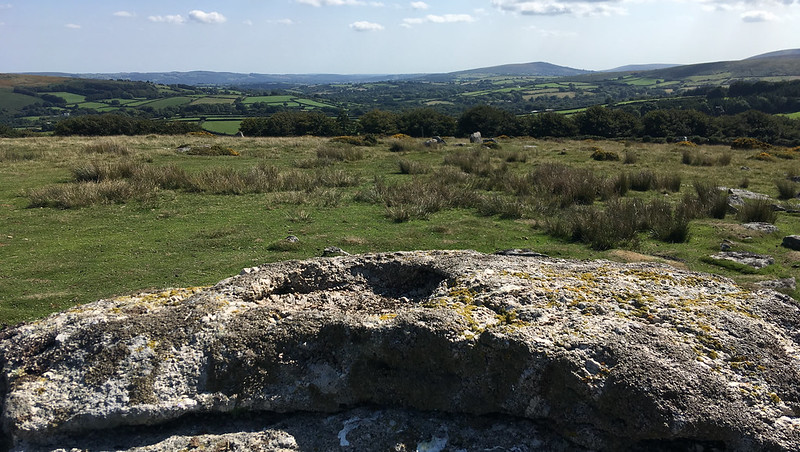 East of the tor 50 yards or so, are two well formed hut circles both of which obtain their distinctive shape from a ring of large flat upright slabs. The northernmost circle measures roughly 15 feet in diameter. It would appear that several stones from the southern hut are missing and a large pointed triangular rock of around 6 feet in height, is stood like a granite sentry close by. Other large and curious rocks pepper the down below the tor, indicative in part of a prehistoric field settlement, together forming a huge semi circle of rock, a short distance above the narrow access lane to Thornworthy Farm. 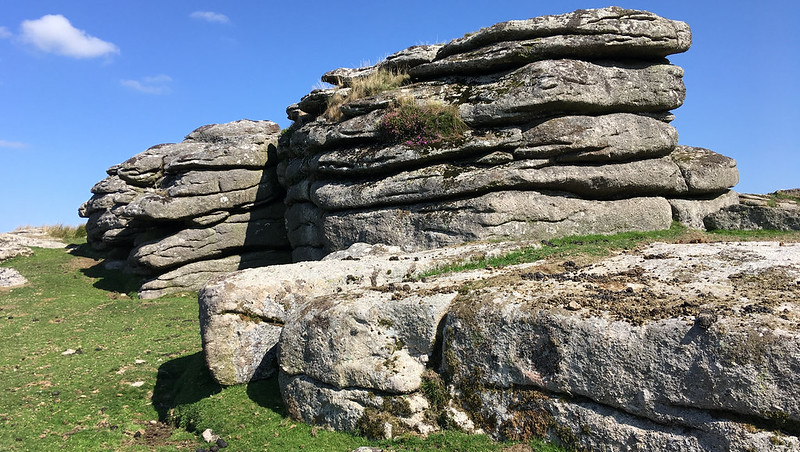 On the north eastern face of the tor there is a small cave of about 8 feet in depth and 4 1/2 feet in height that looks out to the west toward Thornworthy Tor and further north where the tip of Watern Tor emerges skylined. From the summit, Meldon Hill dominates the scene to the east and south eastward the peak of Easdon Tor and the bump of King's Burrow can be clearly seen. Looking north and west the striking rocks of Kes and Middle Tors lie, with the latter being less than one quarter mile distant. 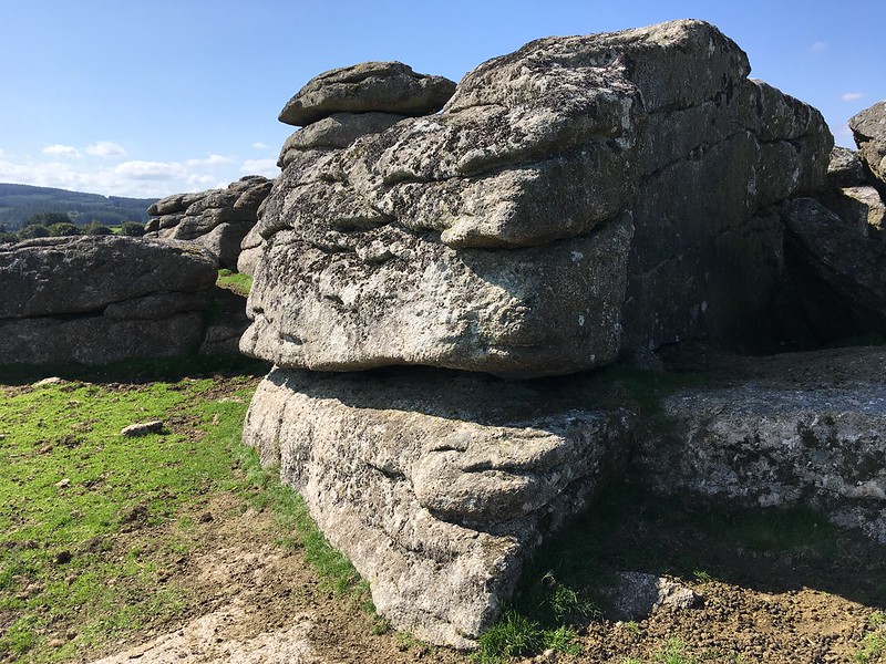
| ||||||||||||||||||||||||||||||