TORS OF DARTMOOR
a database of both lesser- & well-known rocks and outcrops
Fur Tor (Walkhampton)Yestor, Easter, East Tor, Yes Tor (disputed) 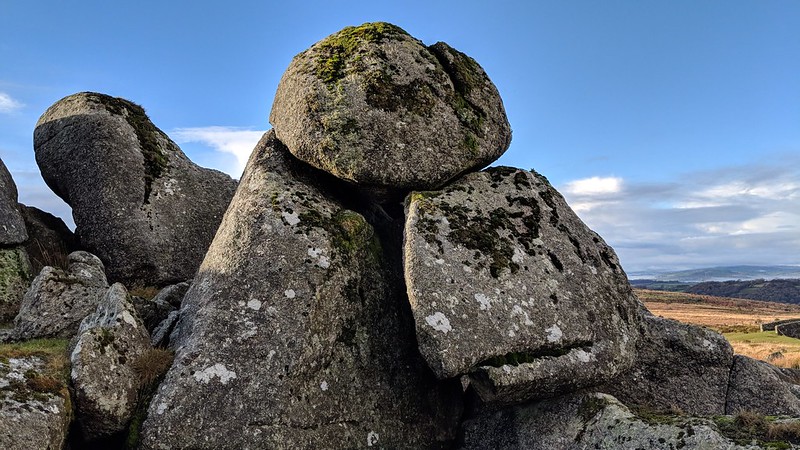 At a place known as Yestor Bottom along the old rail track from Princetown to Yelverton there are two small and rather scruffy tors, one to the east above the track and the other to the west some yards below it. In the lesser known 3rd edition of the Guide to Dartmoor from 1914 (page 14) William Crossing is the first it seems to mention the name of Fur Tor for the higher rocks 'Passing Routrendle the line sweeps out around Inga Tor, below which the ground is rather marshy, and then making a great bend to the right runs up to Yes Tor Green. Here, at the turn, the old tramroad, which made a rather long sweep, will be noticed, with the little bridge that carried it over the brook. This is just below the pile known as Fur Tor.' The little bridge can be found at SX 5647 7256. 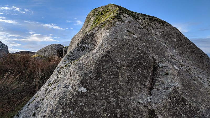 The name of 'Fur' resurfaces in 1983 in two publications both by Eric Hemery the first entitled 'Walking the Dartmoor Railroads' (reprinted 2001) where photographic evidence on page 16 clearly shows the tor's location as the higher pile and secondly in the tome High Dartmoor where unfortunately the author seems to contradict himself by implying that the tor is below the track. It is this latter description that for many years had caused confusion over the two sites. 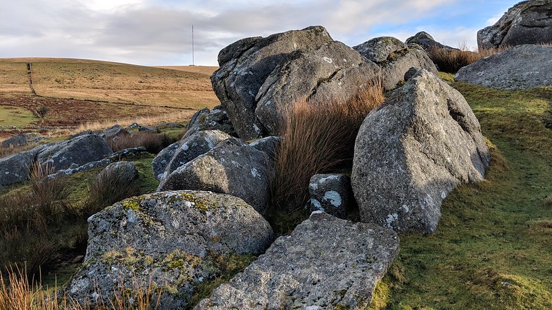 That said both Terry Bound (1991) and Mike Brown (1995) provide grid references that put Fur Tor above the track with the former stating that it overlooks a tight bend. As a result of Max Piper's discovery of Crossing's 1914 reference, the Tors of Dartmoor team organised an on the ground visit to the site on December 27th 2019 in order to match Hemery's photograph to the landscape. The team are now in a position to unanimously confirm that Fur Tor is indeed the higher pile of the two set either side of the old railbed. Here there is a jumble of very large rocks some of which appear to have been quarried as they show tare and feather marks, one of which possesses a small rock basin type indentation on its face. The rocks of the main part of the tor have formed a small cave that looks out towards the sturdy rail bridge that still straddles the old track below. For many years the tor has been the scene of the alternative New Year's Day Letterbox Meet for those who nowadays have a little less inclination to walk the much longer distance to the remote Fur Tor of the northern moor. 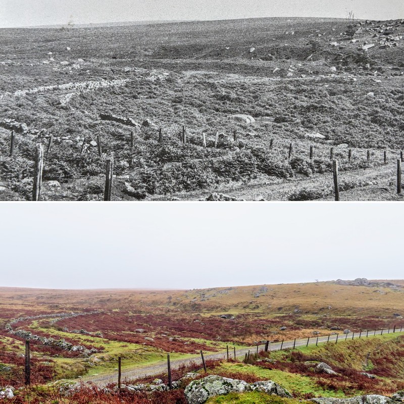
| ||||||||||||||||||||||||||||||