TORS OF DARTMOOR
a database of both lesser- & well-known rocks and outcrops
Furze Park Tor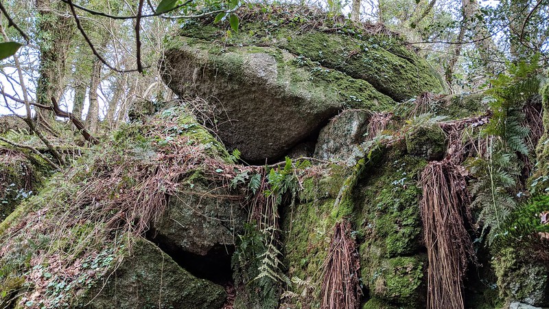 Wray Cleave Wood is a most fantastic place to discover hidden tors, outcrops and grand boulders. These all begin near the top of the woodland and give rise lower down the slope to some impressive towers and sprawling rock fields. Bisecting the faint but waymarked footpath through the highest section of the wood is a large valley side tor that is set roughly halfway between Wray Barton Tor and Wray Cleave Wood Tor. The northernmost outcrop, at grid reference SX 7752 8454, is intersected by a broken wall, which the footpath appears to cross. This, though, would be quite tricky as it would ensue climbing part of the tor, which has led to people taking a higher and simpler route over the top. This part of the tor is quite distinct and its elongated appearance is best seen on the approach from the north, where there is a massive pale boulder. 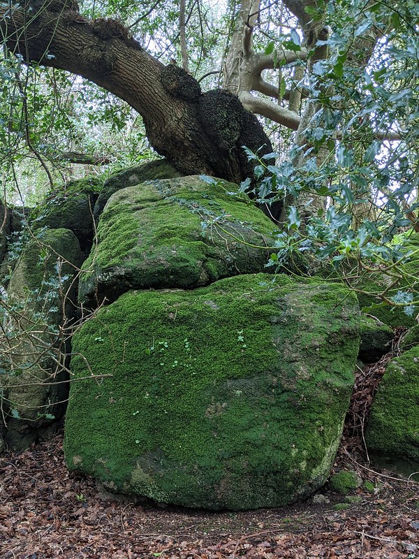 The tor contours south where you will soon reach the middle section, just below the footpath; a series of large granite walls, mostly hidden by foliage, before another fine outcrop is found some 10 metres below at SX 7751 8444. These rocks are impressive at close-quarters. 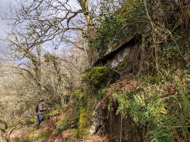 The southernmost outcrop was brought to the ToD team's attention by local tor hunter Jake Parrish in May 2020. Described by Jake as "an unusually clean set of rocks", this is indeed a stunning section of the tor that has somehow escaped the relentless growth of vegetation that plagues the wood elsewhere. It can be located at SX 77498 84395. 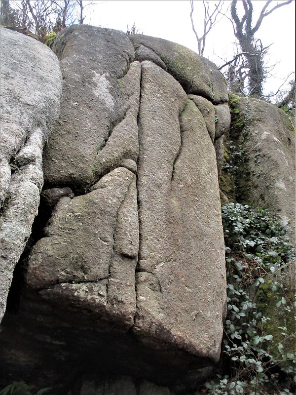 The name of 'Furze Park Tor' seems appropriate given that the sprawling outcrops here lie directly above the field called 'Furze Park' in the Tithe Apportionments for the Parish of Moretonhampstead. 'Furze' is also a word typically used to describe rough and overgrown terrain. As with all of the tors in Wray Cleave Wood, care must be taken on the steep wooded slopes as they can be uneven and difficult to traverse.
| ||||||||||||||||||||||||||||