TORS OF DARTMOOR
a database of both lesser- & well-known rocks and outcrops
Gibby Combe TorGibbicombe Tor 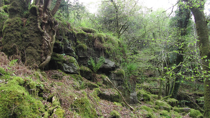 This is a remote and truly lesser-known tor at the foot of Gibby Combe, close to the confluence of the Holy Brook with Gibby Combe Stream. Veiled in vegetation, the tor is rarely visited and the moss-covered rocks extend along the northern banks above the brook like a cliff face for 100 metres or so westward from the grid reference. 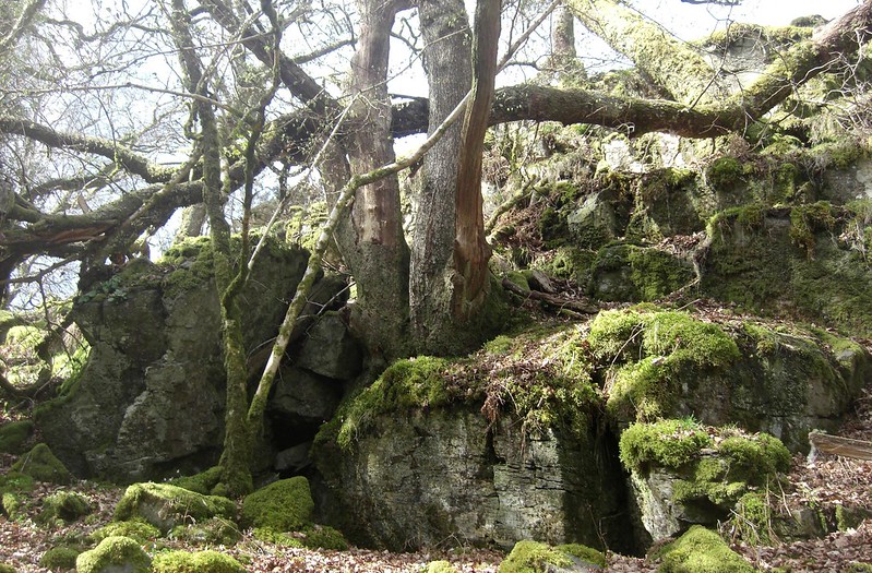 In 'High Dartmoor', Eric Hemery is pretty dismissive when he writes about this tor; "The entirely delightful Holy Brook passes the little pile of Gibby Combe Tor (approx. 800 feet)..." However, he didn't first mention it. When looking at the Tithe Map for the Parish of Holne, the tor is marked in the vicinity as 'Gibbicombe Tor' and despite Hemery's poor account of the area, it is in fact a modest non-granite outcrop, but its character somewhat outweighs its stature. Decorated in moss, ferns, and creeping foliage, it has a wild feel to it, and the Combe it sits within is a world away from the arable fields above. 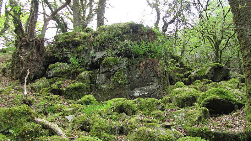 Tim Jenkinson is the first to orientate people to the proper location of Gibby Combe Tor in his Dartmoor Magazine article from 1996 giving an accurate GR of SX 687 687. It is set deep in the valley side and is one that supersedes the site offered by Mike Brown a year earlier that is now recognised as being too far to the west at the head of the Combe where there is nothing but a small clitter on the hillside. Tim states: "Clinging to the hillside above the brook the tor's large rocks are covered in thick luxuriant vegetation of moss, bramble, fern and ivy, that is interspersed with oak and holly. Although Hemery supplies the name of the tor, his ensuing description fails in essence to do justice to the charm and beauty of this spot." 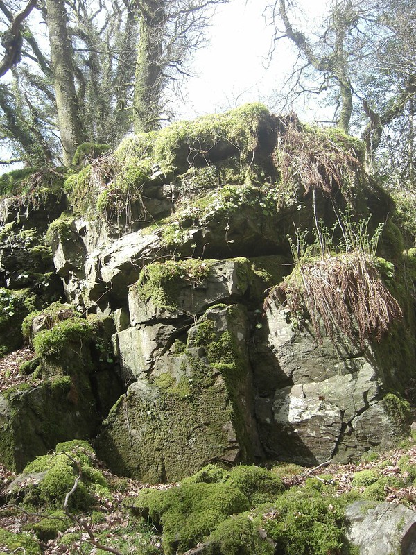
| ||||||||||||||||||||||||||||||