TORS OF DARTMOOR
a database of both lesser- & well-known rocks and outcrops
Gidleigh Bottom Tor
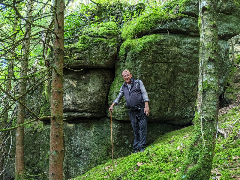 The lowest outcrops of this tor, seemingly bulldozed and set a short distance from the public footpath in the bottom of the valley, were noted by Max Piper and his family during a visit to the area in November 2018 where the name of 'Gidleigh Bottom Tor' was introduced in a blog post. These rather dishevelled rocks, at SX 6706 8755, can be found immediately to your left after crossing the footbridge over the North Teign River and present little significance in themselves. 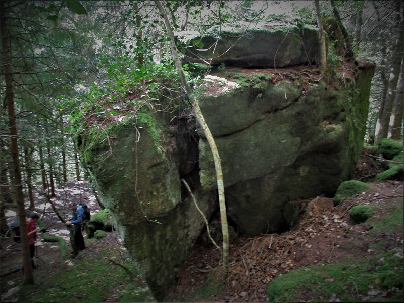 But above this scruffy pile is a whole new proposition and the tor's extent is fully realised. Giant outcrops and boulders become more abundant as you ascend and one of these culminates in a huge stack that from above shows rock parting, at SX 6697 8761. Moss embellishes the rocks here that have tumbled down the hillside and to the west there are several embedded, low outcrops. Special thanks go to Paul Rendell for guiding the ToD team to this place in October 2021 during an on-the-ground survey of Gidleigh Woods where the impressive upper rocks of the tor he had noted a year earlier were recorded and photographed. 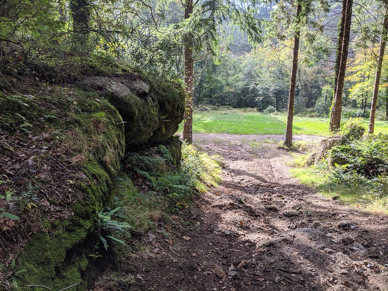 A forestry track on the west side marks the westernmost extent of the tor's rocks and it is probable that its build led to the destruction of part of the tor here, but fortunately it has not impacted upon the more impressive outcrops already described. Once again the rocks here are likely connected to the even grander outcrops further up the hill that we list as North Park Tor, or Lower Gidleigh Tor. William Crossing (1905) was so impressed during his visit to the area that he alludes to "several fantastically shaped piles of rock" that stud the steep slopes here, that he probably likened to as outliers of Gidleigh Tor itself. It is difficult to conceptualise the torscape here were it bereft of trees. Whilst it would certainly reveal some tremendous rocks it would also be detrimental to their current sense of seclusion. 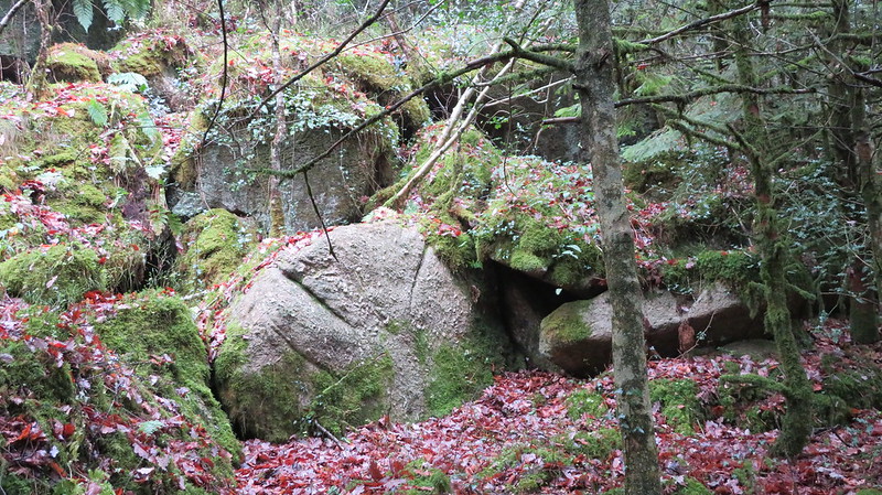 The North Teign River is a stone's throw from the tor and is a stunning place; the aforementioned footbridge enables a great view up and down the river that is much-loved by photographers as it hops, skips and leaps over large granite boulders, some of which are enormous. On one of the boulders beside the bridge here is an iron bar which possibly supported a previous bridge. Although the public footpath passes close to the lower rocks of Gidleigh Bottom Tor it is encouraged that you obtain permission to roam the slopes from the landowner first, in part due to the often deceptive nature of the terrain here.
| ||||||||||||||||||||||||||||||