TORS OF DARTMOOR

a database of both lesser- & well-known rocks and outcrops

Home Search Map The East Access About Team Social Blog

Gratnor Rocks

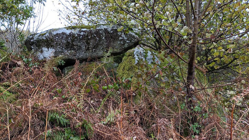
Down near the farm on Private Land is this large outcrop hidden in trees and overgrown. It is likely to be the lower part of the rockpiles shown on old OS maps with much more in the vegetation.

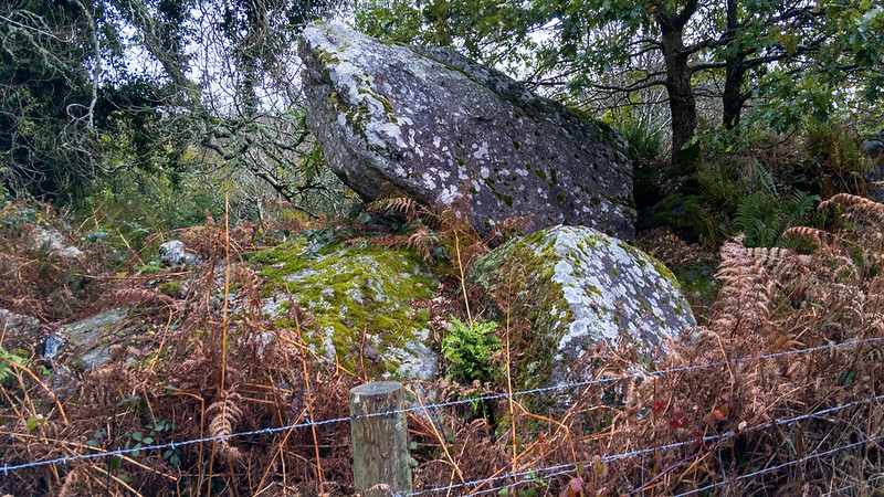
Although the small tor is obvious it is more impressive from afar, the road heading downhill east from the large Hound Tor car park. Without the bracken to obscure it we feel that it would be much more impressive.
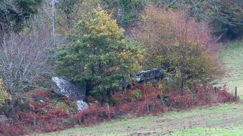
icon
icon
Gratnor Rocks
The map above is not a navigation tool and we recommend that the grid reference shown below is used in conjunction with an Ordnance Survey map and that training in its use with a compass is advised.
Grid Ref:
SX 7436 7947
Height:
299m
Parish:
Manaton
Tor Classification:
Small
Access:
Private (but visible from public land)
Rock Type:
Granite
Credit:
Tim Jenkinson
Reference / Further Reading:

Please Support Us

We are proud to see the names of lesser-known tors are now being used more commonly on other websites and whilst this is to be encouraged we do request that, should you wish to use the information on this page, you provide a backlink to the website as reference, by copying the relevant address:

https://www.torsofdartmoor.co.uk/tor-page.php?tor=gratnor-rocks

Please also consider a small donation to the upkeep of the site; any contribution goes toward the fees to keep the database online and any costs incurred when undertaking research such as subscriptions to online archives.