TORS OF DARTMOOR
a database of both lesser- & well-known rocks and outcrops
Great Great Rough Tor
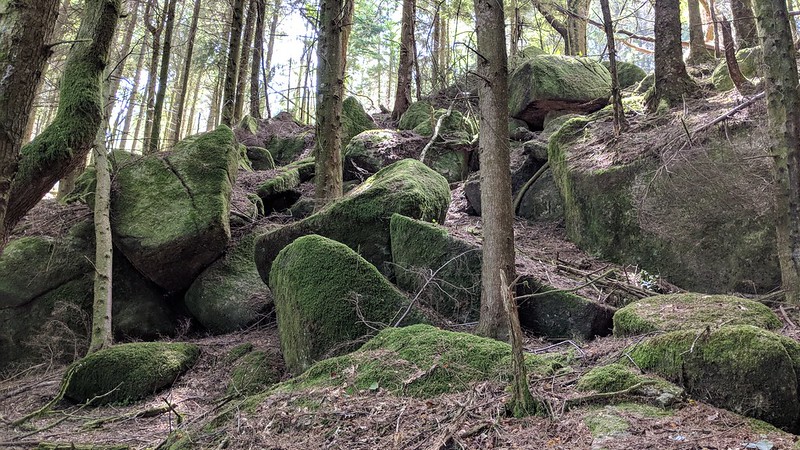 Despite its name, this tor, which is really a conglomeration of large, dishevelled boulders, is anything but 'great'. It is a most underwhelming place to visit, especially in comparison to the more statuesque Great and Middle Rough Tors, so one wonders why it was given such a grand title. 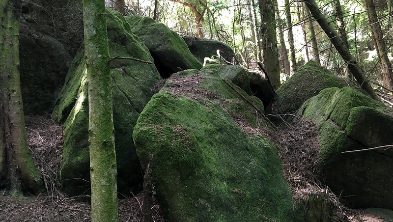 Sat just below the logging track and about 50 metres or so from Rough Tor Rock, little distinguishes Great Great Rough Tor from the rest of the hillside, which itself is littered with scruffy rocks and conifers. The tor is perhaps best seen from the underside where the heaped boulders are most striking. 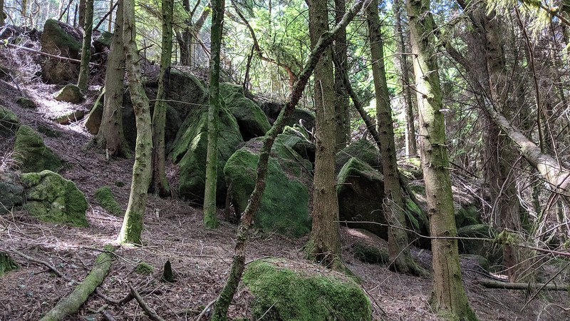 It is difficult terrain that has many associated hazards. The hillside here is incredibly steep and slippery. There are also the earthworks of Rowter Mine to look out for, including adits horizontally driven into the hillside that are easy to miss. The mine, which also went by the name of Great Roughtor, was used for sourcing tin and no less than six adits can be found within the bounds of Roughtor Plantation. 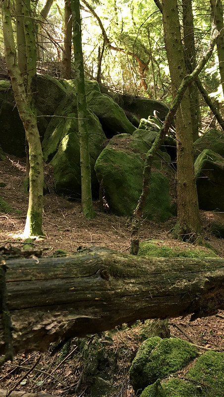 Dartmoor HER dates the mine to at least 1825 when it was probably connected with the alliance mining association, and it then became associated with Great Roughtor in 1847. Below the tor and slightly to the east at roughly SX 57504 68740 is a rectangular building, perhaps the remains of a tin mill. Recorded in 1977, its measurements are given as: "4.9 metres by 3.2 metres (internally). Probably connected with the 19th century alliance mining association, and/or Great Roughtor Mine. A leat passes behind the building, and there is a possible leat embankment and wheelpit. The structure could therefore possibly be a mill site of 16th or 17th century."
| ||||||||||||||||||||||||||||||