TORS OF DARTMOOR
a database of both lesser- & well-known rocks and outcrops
Great Wood TorFallen Bird Rock 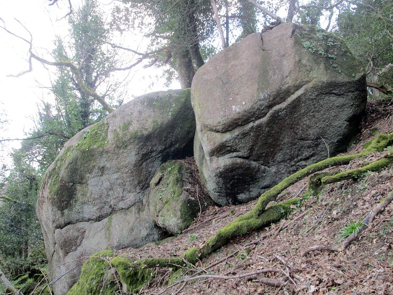 Almost as soon as you pass through the small gateway off the lane near the property of Caseley Wood, a number of quite imposing large moss- and vegetation-covered boulders can be seen above the woodland path on the left-hand side at SX 7846 8194. The rocks here are indicative of a larger pile that is set on the wooded slope above and to the west. Collectively, this is known as 'Great Wood Tor', this appellation being given to the wood on the 1840s Tithe Map and into which the southernmost outcrops of the tor lie. The name of Great Wood seems to have fallen out of use in modern times with 'Town Wood' superseding it. 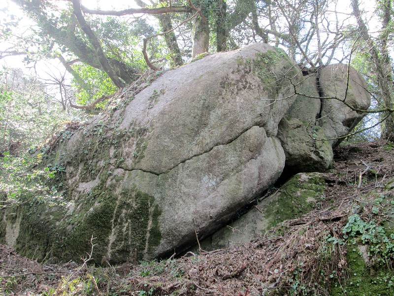 The upper section of the tor (SX 7835 8187 and SX 7834 8196) presents as a series of huge mossy boulders culminating in two giant rounded outcrops, the lower of which could resemble a fallen bird. Further south a small, but fiercely characteristic, outcrop that is somewhat detached from the main group can be found at SX 7844 8176. The stature of the rocks that culminate in the tor is impressive, particularly from the underside and, were it not for the trees, we would have a dramatic rocky hill, its prow overlooking the Wray Brook and former railway line in the valley below. 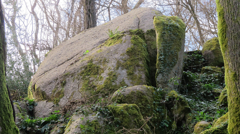 The aforementioned path threads its way through the wood in a northerly direction where other outcrops sited in the Cleave, documented elsewhere, are dotted across the hillside to the west. Please be warned that after a few hundred metres or so the narrow path shown on OS maps mysteriously fizzles out into a dismal boggy tract that is soon lost under low trees and bushes on the way to Tennacott. 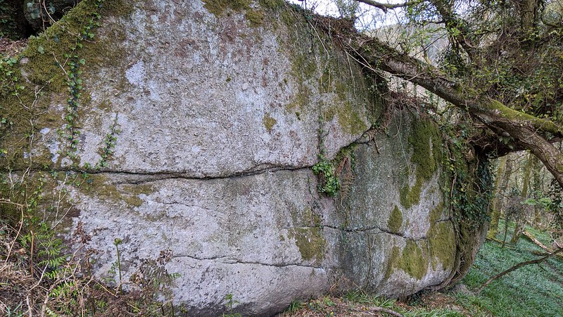 Please note, this outcrop was visited back in 2016 when access was unclear. It has now been confirmed that NO ACCESS is afforded to this site and you should respect the wish of the current landowner.
| ||||||||||||||||||||||||||||||