TORS OF DARTMOOR
a database of both lesser- & well-known rocks and outcrops
Hampster Tor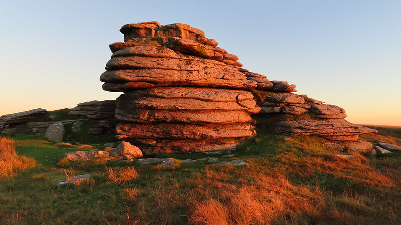 There are a fine set of prominent outcrops north of High Willhays and south of Yes Tor which spark controversy in their inclusion within the database as there is some conjecture of not only the location but also the actual existence of a tor called 'Hampster'! 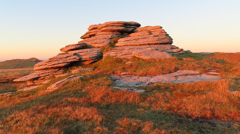 The unreliable 1765 Benjamin Donn Map of Devon first mentions Hampster, positioning it north-east of Great Links Tor and south of the Lyd, more in the location of Hunt Tor than High Willhays. Yet in 1991, Terry Bound, in his A to Z of Dartmoor Tors, interprets the map differently and offers Hampster Tor as an alternative name to High Willhays, saying that "Donn is the only writer to refer to the place as a tor." But there is no mention of High Willhays on the 1765 map; Yes Tor being given more prominence which fuels speculation that the cartographer probably never surveyed the higher moor so simply never saw it. So many, Bound included, have concluded that the prominence of Hampster Tor on the map suggests that it represents the highest point and have then moved it nearly 3 kilometres north-east of where Donn put it! Move on a couple of decades and Ken Ringwood, in his book 'Dartmoor's Tors and Rocks', further compounded the error that these outcrops are Hampster and the label appears to have stuck. 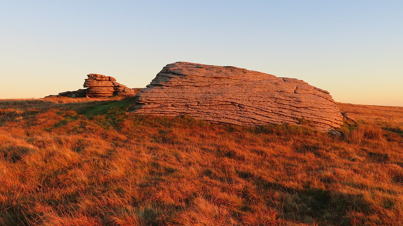 However, we believe it is a misnomer, and there are a couple of theories to support us. One was recently put forward to us by Peter Freeman that it was simply a phonetic error confusing 'Hunt' or 'Hunters Tor' for 'Hampster'. The second, but most compelling, is that offered by Tom Greeves in 1994, which Ringwood appears not to have considered; "One of the earliest accessible maps is that by Benjamin Donn which was published in 1765. The map contains a puzzling and amusing juxtaposition of 'Hampster Tor' and 'Linx Tor' overlooking the River Lyd, the first name being apparently unknown on the moor today. However the explanation is probably quite straightforward. Dartmoor speech quite frequently repeats the element 'tor' in a name, as at Higher and Lower Hartor Tors overlooking the River Plym, or at Laughter Tor south of Postbridge. Donn had clearly recorded a variation of the modern Arms Tor which would easily become Armster Tor and hence Hampster Tor. The only remaining puzzle is why Donn's tors have been transposed." 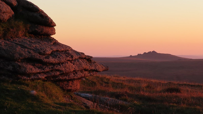
| ||||||||||||||||||||||||||||