TORS OF DARTMOOR
a database of both lesser- & well-known rocks and outcrops
Hangershell RockHanger's Shiel, Hangershill Rock, Hangershiel Rock 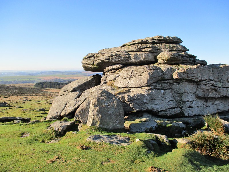 Harford Moor forms the southernmost part of Dartmoor and is an absolutely beautiful area, boasting superb antiquities from both prehistoric and war times. Significant granite outcrops on the hilltop are few and far between, yet there is one break in the monotonous ridgeline where Hangershell Rock sits. Largely characteristic, the Rock (essentially a small tor) is the only prominent feature on what at first appears to be a long, featureless ridge, but there is so much interest all around, and its position above the head of the Butter Brook warrants further investigation on account of its stature when viewed from a point just above Harford Moor Gate. 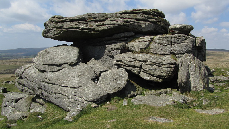 Writing in the latter part of the 20th Century, Hemery (1983) remarks upon the spelling of the Rock's name; "The spelling in 1500 was 'Hanger's Shiel', and three centuries later 'Hangershill', with the pronunciation 'Hangershiel' ('sheel')." As the rambler climbs up to the Rock from the western slope, their pulse will quicken and they will soon realise that this is a most special spot. The tor takes on different forms as you round it and has cast a substantial clitter that is flung down the western slope of the hill across the Redlake Tramway towards the now disused small reservoir at Butter Brook. Trees find refuge in this clitter that is amplified by gorse flowers. The summit of Hangershell Rock reveals small, pitted rock basins that provide a perch from which to enjoy the thrilling vista of Hanger Down Clump and the southern heights, most notably Stall Down and Sharp Tor opposing one another above the River Erme. 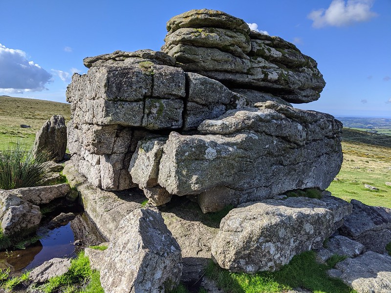 The Rock overlooks one of the most archeologically fascinating areas on Dartmoor. Harford Moor has been used by prehistoric settlers to construct massive cairns, stone rows and cists, all of which lie a stone's throw from here. The stone row between Butterdon Hill and Piles Hill, about 150 metres away to the east, is the second longest of its kind on Dartmoor. Closer but in the same direction is the tiny Marntory Rock that was once on the boundary of Harford and Ugborough which has since been realigned to the path of the stone row. Dave Brewer is the first to supply both a black and white photo of the Rock and an NGR of SX 6560 5945. To the north a rifle range that opened in the Victorian era known as the Butterdon (Butter Brook) Rifle Range still has 102 surviving granite distance markers in situ, one of which is found very close to Hangershell Rock at the 900 yards mark. This is near enough the maximum distance for the rifles of that time. 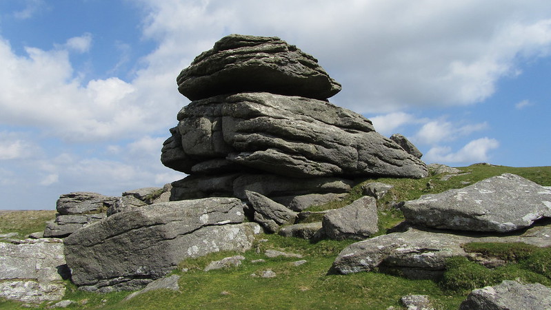
| ||||||||||||||||||||||||||||||