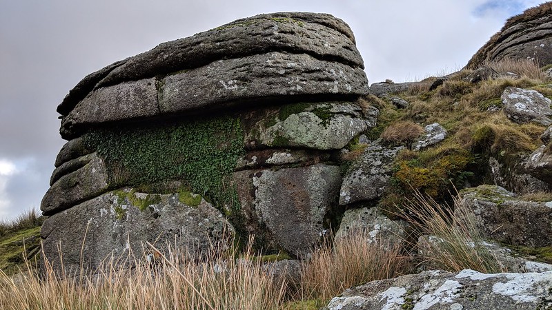
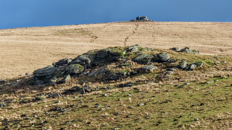
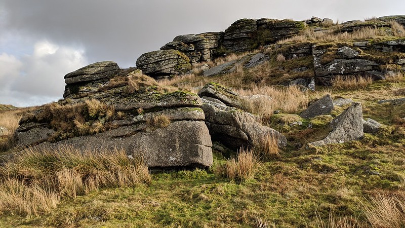
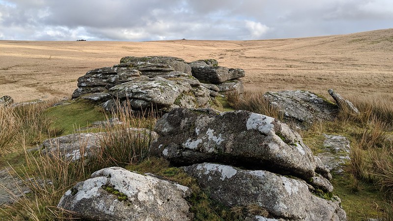
A granite outcrop, south-west of Princetown, nestled between Hart Tor Brook and the River Meavy. To the north, evidence of a disused rifle range.
A prominent feature from the road, Hemery describes it; "Hart Tor (approx. 1,250 feet), the beautiful and symmetrical pile that bestows its name upon the brook, is one of a number so called denoting the former haunt of the white hart; it is most striking when seen from the river below."
Hart Tor (Walkhampton Common)
The map above is not a navigation tool and we recommend that the grid reference shown below is used in conjunction with an Ordnance Survey map and that training in its use with a compass is advised.
Grid Ref:
SX 5811 7199
Height:
390m
Parish:
Walkhampton
Tor Classification:
Summit
Access:
Public
Rock Type:
Granite
Credit:
Ordnance Survey
Reference / Further Reading:
Ordnance Survey Maps Eric Hemery: High Dartmoor
Please Support Us
We are proud to see the names of lesser-known tors are now being used more commonly on other websites and whilst this is to be encouraged we do request that, should you wish to use the information on this page, you provide a backlink to the website as reference, by copying the relevant address:
Please also consider a small donation to the upkeep of the site; any contribution goes toward the fees to keep the database online and any costs incurred when undertaking research such as subscriptions to online archives.