TORS OF DARTMOOR
a database of both lesser- & well-known rocks and outcrops
Hatherleigh Tor
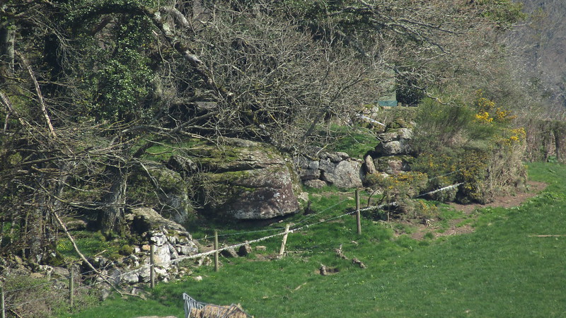 The landscape of East Dartmoor is just fantastic. The valleys, most famously Lustleigh Cleave and the Wray Valley, are dramatic wooded hillsides that are adorned with granite rock. The abrupt slopes have resulted in many small tors that are seldom if ever described in the literature before. Atop a small hill no more than a mile to the east of Lustleigh, and above the A382, there is a partly hidden tor that is obscured by trees from most viewpoints. 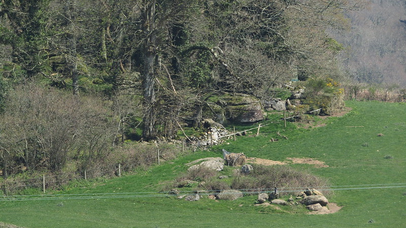 Situated above Hatherleigh Farm, the tor, which Tim Jenkinson first spotted in April 2016, seems to consist of a small stack with a low fissured outcrop beneath on the southern edge of the small copse, with further exposed granite above to the left. It appears to be part involved with either a ruined building or wall but is wholly set within private land so it has to be viewed from the minor road to the north of the farm, the best place being by the south entrance to Higher Knowle Wood. 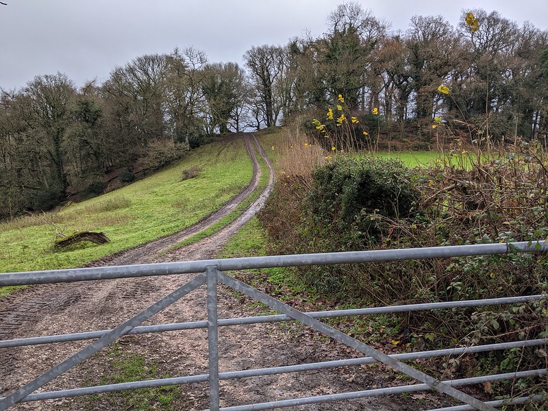 Close to the tor's location above Slade Acre and by the rock of the same name, a farm track seems to bisect the little copse and presumably the tor extends further down the hill to the north-east as from the A382 some loose rocks are seen littered across the slope, all mossy, some sizeable and indicative of a once much larger rockpile up on high. 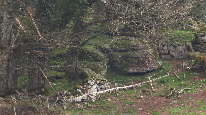 Despite the lack of public access, the tor nonetheless remains an intriguing feature in the hidden landscape, a secretive outcrop that is shrouded in enigma that no doubt has more to reveal should anyone be able to get up close with it sometime in the future. For its lack of acknowledgement in the past Hatherleigh Tor is worth taking the time to inspect and ponder at, if only from a distance beside the aforementioned road.
| ||||||||||||||||||||||||||||||