TORS OF DARTMOOR
a database of both lesser- & well-known rocks and outcrops
Hayne Down South TorHayne Down Tors, Hayne Rocks (Hemery) 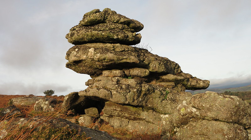 In his book entitled 'One Hundred Years on Dartmoor', Crossing (1901) makes reference to Hayne Down Tors as being two tors that lie about a mile from the village of Manaton. On the down occupying the grid reference of SX 74 80, there is a widespread scattering of rock outcrops, of which the most celebrated is undoubtedly the north-western group where the impressive towering stack of the much sketched and photographed Bowerman's Nose forms part of the North Tor described elsewhere on this database. Here, to the south-east of that, there is a huge concentration of ruined granite outcrops that stud the southern slopes of the down. 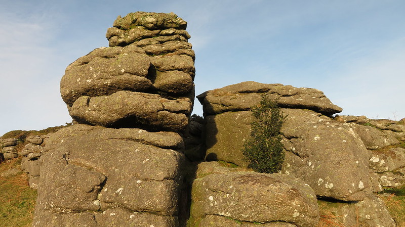 Equally as impressive as the northern group, the South Tor is very much another large tor with even better views of Hound Tor Combe. One particular outcrop on the east side resembles a crouching bird that overlooks the public footpath that descends to Hayne. Other outcrops can be found further to the south-east which eventually dissipate above the quite separate pile of Southcott Rocks. According to Richard Horsham's classification, the tor here is a good example of a Summit Avenue Tor where the many rockpiles have been separated by weathering leaving a flat, grassy plain regularly grazed by ponies, cows and sheep.  The panorama from this point is extensive and quite beautiful. In comparison to the North Tor, the views south from here are more dramatic and the valley between here and Hound Tor breaks up the moorland where a patchwork of fields are seen. Westward the great ridge of Hamel Down is noticed, and southward Hay (Hey) Tor stands sentinel above Hound Tor Combe where the Becka Brook leaves the moor. There is so much to enjoy on Hayne Down, where the quite beautiful scenery is further complicated by the oddity of Bowerman's Nose and yet in spite of the main attraction's popularity, the outcrops remain relatively unspoiled and the down provides a peaceful haven for anyone who cares to venture. 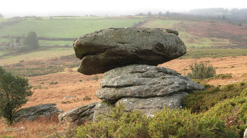
| ||||||||||||||||||||||||||||||