TORS OF DARTMOOR
a database of both lesser- & well-known rocks and outcrops
Haytor RocksHaytor, Hay Tor, Hay Tor Rock, Hay Tor Rocks, Heytor Rocks, Heytor, Hey Tor, Hey Tor Rock, Hey Tor Rocks, High Tor, Ather Tor, Athur Tor, Arter Rocks, Solar Tor, Hea Tor, Heah Tor, Idetordoune, Ittor Doune, Eator Down, Idetor, Itterdown, Low Man (western outcrop) 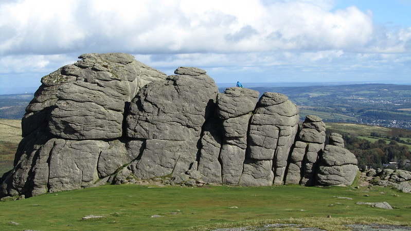 Haytor Rocks form a massive Summit Avenue Tor and is one of the most impressive landmarks in Devon, being of very distinctive appearance from the coast of South Devon, render it unmistakable. The western outcrop is better called Low Man; its huge cliff face descending vertically to the ground. 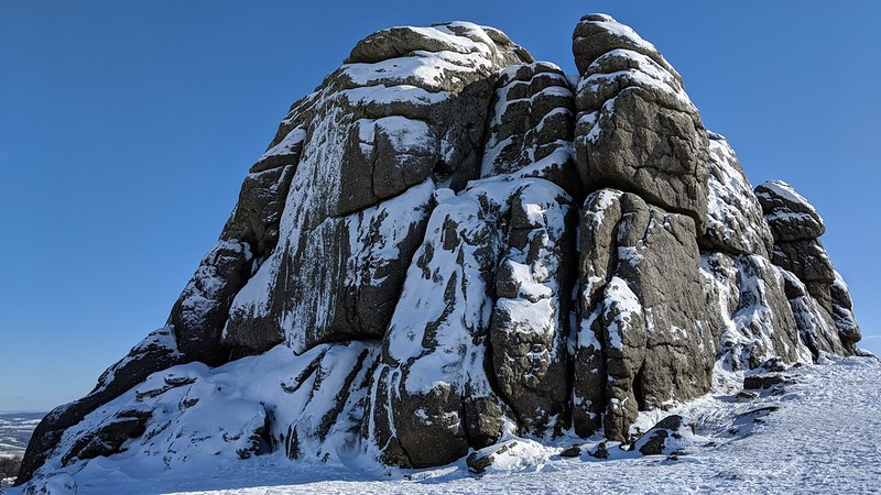 William Crossing perhaps best describes it; "No tor on the Moor is so often visited as Hey Tor, for while none presents a more striking appearance, few are so easy to access. Consisting of two large masses of rock set on a lofty ridge, and rising to a considerable height above the turf, it forms a conspicuous object in the view from any elevated point for many miles around, and also from the low land in the neighbourhood of Newton Abbot. Steps have been cut in the rock by means of which the visitor may easily ascend to the summit of one of the piles; the top of the other can only be reached by climbing. The view is magnificent. On one side a beautifully diversified country, bounded by the Channel; on the other, the hills above the valley of the Teign, and the wide Moor." 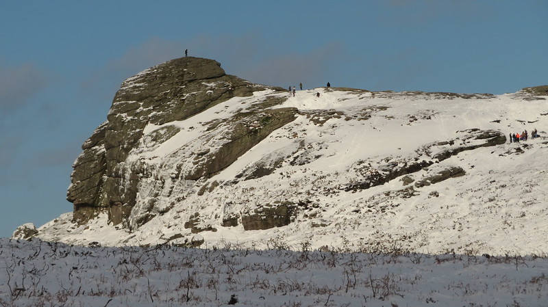 The preferred spelling of the tor was and still is with some 'Hey' Tor as espoused by both Crossing and Hemery. All the older maps and documents use this spelling. Somewhere along the lines in the early 20th Century the corruption of Hay Tor came into being and that name now appears all over the place in books, on maps, road signs and even at the visitor centre. 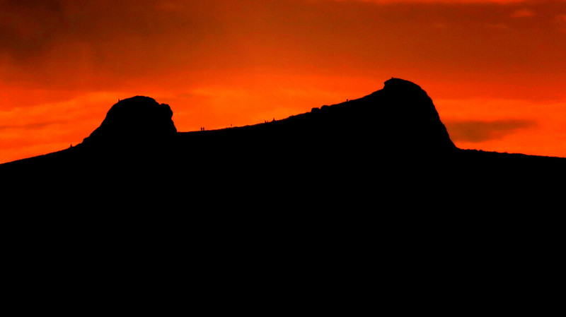
| ||||||||||||||||||||||||||||||