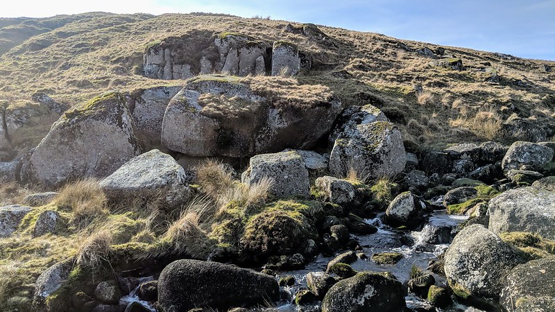
Outcrops on the slopes of the River Avon, beside Broad Falls. Crossing mentions this with the aforementioned name whilst Hemery embellishes it somewhat as Heng Lake Broadafalls.
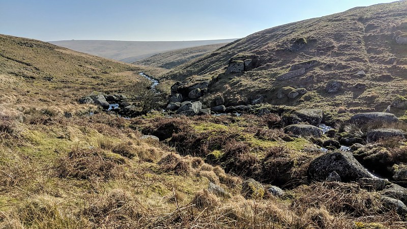
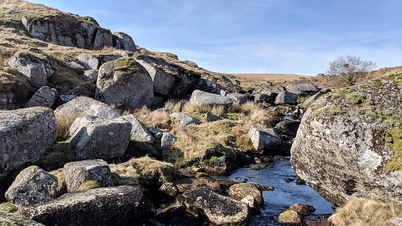
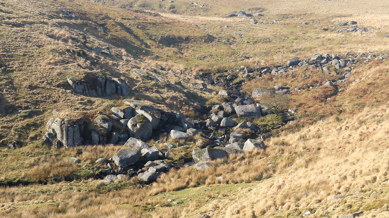
For about three kilometres from the mire that is its head, the River Avon is sedate and a mere trickle with little to see apart from the remains of tinners works. As it passes into the bounds of Huntingdon Warren, it starts to get interesting, with large granite boulders strewn across the head of the valley at Heng Lake, feeding into the Avon from the right, which Crossing tells us; "flows out of the gully of that same name..."
Where the river turns left the scene is at its most dramatic as it enters Higher Bottom, with huge boulders strewn across the narrowing valley, but with the largest of them to the right bank below an exposed wall. Here the river cascades gently over the rocks and this is Broad Falls.
Heng Lake Broadafalls
The map above is not a navigation tool and we recommend that the grid reference shown below is used in conjunction with an Ordnance Survey map and that training in its use with a compass is advised.
Grid Ref:
SX 6532 6702
Height:
430m
Parish:
Dartmoor Forest
Tor Classification:
Valley Side
Access:
Public
Rock Type:
Granite
Credit:
William Crossing Eric Hemery
Reference / Further Reading:
William Crossing: Guide to Dartmoor Eric Hemery: High Dartmoor Ordnance Survey Maps
Please Support Us
We are proud to see the names of lesser-known tors are now being used more commonly on other websites and whilst this is to be encouraged we do request that, should you wish to use the information on this page, you provide a backlink to the website as reference, by copying the relevant address:
Please also consider a small donation to the upkeep of the site; any contribution goes toward the fees to keep the database online and any costs incurred when undertaking research such as subscriptions to online archives.