TORS OF DARTMOOR
a database of both lesser- & well-known rocks and outcrops
Herne Hole Tor
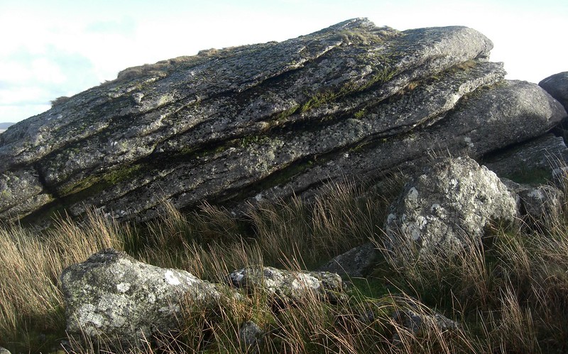 To any visitor who ascends the north-west slope of North Hessary Tor from either Hollow Tor and Rundlestone Tor, you cannot fail to notice, beyond a wall, a prominent outcrop that, to much surprise, is not labelled on OS Maps. This is called Herne Hole Tor and its name first appeared on a map of the area by William Shillibeer in c1808. It is readily accessible by use of a wooden stile to the south-west which enters land owned by Dartmoor Prison, the wall marking this boundary where a number of boundary stones lining its course can be found bearing the letters 'DCP' standing for Director of Convict Prisons. 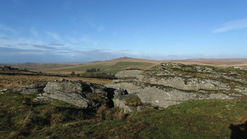 Writing in 1996, Tim Jenkinson, in his series about the Lesser Known Tors of Dartmoor, describes this long-lost tor; "Situated about 200 yards (183m) to the east of the much larger ruin of Rundlestone Tor, Herne Hole Tor itself consists of little more than two large outcrops on rising ground above the prison quarry, that according to Crossing (1912 p132) resides at 'Herne Hole'." He also advises that; "It is Crossing (p85) who claims that no less than 60 tors are visible from North Hessary and the superlative scenery quickly compensates the visitor for the disappointment felt, at the lowly stature of the tor above Herne Hole." 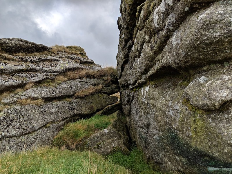 The tor is indeed quite diminutive from above, but when standing below it on its north side you feel like you are beside an outcrop of some merit as it presents as a modest wall of rock rising from the reeds and long grass. A lone hawthorn tree takes shelter on the edge of the pile above the impressive cleft that is discovered by climbing atop the tor or rounding its base. More rocks extend below the highest pile to a point just above the B3357 entering Princetown on the lower north-east slope. 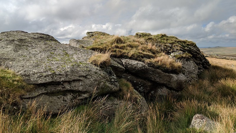
| ||||||||||||||||||||||||||||||