TORS OF DARTMOOR
a database of both lesser- & well-known rocks and outcrops
Higher CastorJewel of the Copse 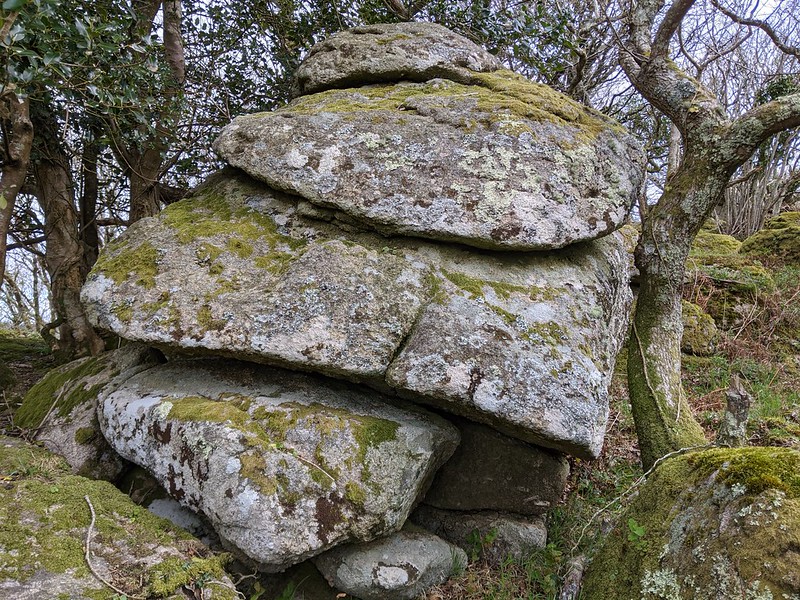 A quite magnificent tor comprising several sprawling outcrops resides in Castor Copse. The highest rocks are situated on the east side (grid ref. SX 8005 8170), above the track marked on historic OS Maps to the north. Largely broken and lowly, these rocks are more of an indicator to the fine sentinel sitting on the summit of the hill. 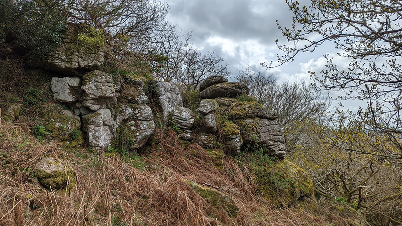 The best outcrops have to be on the west side (SX 7998 8165), where the land begins to fall away abruptly. At this point, the trees have given way to a simply tremendous view, one that extends as far away north-west as Yes Tor, which is 14 miles as the crow flies at SX 5809 9015. The village of Lustleigh can be seen, interspersed by fields, narrow roads and woodlands. It is a breathtaking scene and one of the most awe-inspiring on East Dartmoor. Beside this is an amazingly formed granite pillar that appears to be propped up, but is probably natural. 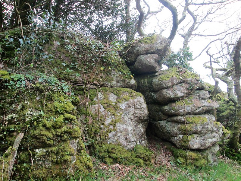 The north side of Higher Castor is delightful, where the fusion of moss and granite boulders creates a vibrant scene. The main outcrop extends into a clearing which is surrounded by bracken. In the winter months, this gives a good view of the main rock. Interestingly, the Tithe Map for the Parish of Bovey Tracey marks two fields to the immediate south as 'Higher and Lower Catstors'. It is certainly plausible that 'Castor' derived from this appellation. To acknowledge these historic names, the name of 'Higher Castor' seems appropriate to distinguish the tor from its lower neighbour, that lies to the west and straddles a fence. 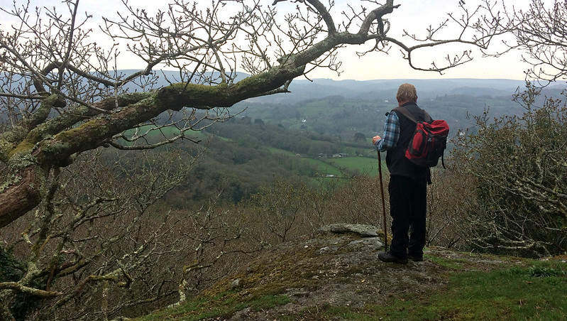 Please note that whilst Higher Castor lies within land that is owned by Dartmoor National Park Authority and is accessible to the public, Castor Copse is isolated from nearby public access points and will therefore necessitate passing through private land to reach it. In this instance, you are advised to seek permission.
| ||||||||||||||||||||||||||||||