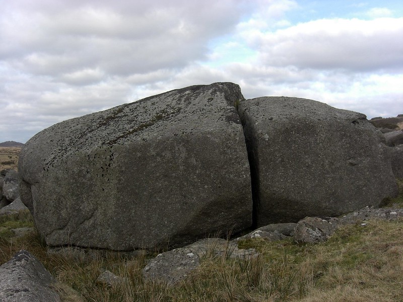
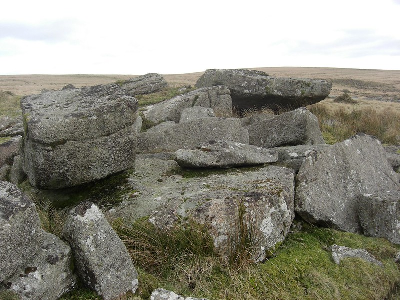
This is the main huge split outcrop/boulder at Higher Swincombe an extensive rock field close to the small Paignton (UDC) reservoir on the river (Swincombe Intake). The area is commented upon by Eric Hemery as a 'rock-field', but to Tim, this is a ruined tor clearly visible from the hillsides to the north.
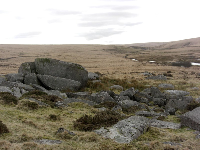
The Wheal Emma Leat runs through the middle of the tor. Now dry, the leat was built in 1859, once collecting water from the River Swincombe as it flows past the eastern side of Fox Tor Mires and down the small valley. It transported water down to the River Mardle and then onto the Wheal Emma Copper Mine, north-west of Buckfastleigh.
The leat can be seen in the photo above as a dark line that contours the hillside.
Higher Swincombe Rocks
The map above is not a navigation tool and we recommend that the grid reference shown below is used in conjunction with an Ordnance Survey map and that training in its use with a compass is advised.
We are proud to see the names of lesser-known tors are now being used more commonly on other websites and whilst this is to be encouraged we do request that, should you wish to use the information on this page, you provide a backlink to the website as reference, by copying the relevant address:
Please also consider a small donation to the upkeep of the site; any contribution goes toward the fees to keep the database online and any costs incurred when undertaking research such as subscriptions to online archives.