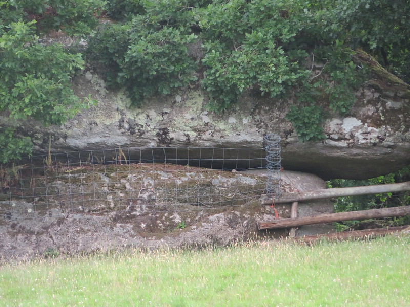
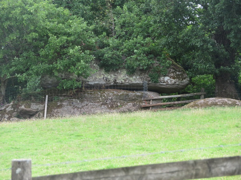
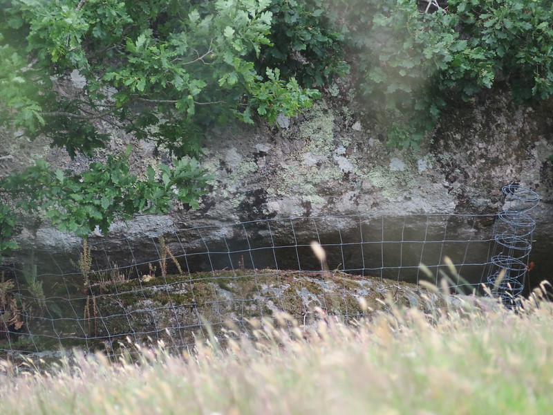
A modest, squat outcrop of granite resembling a huge mushroom can be found on the edge of a field to the east of Ellimore, a farm near to the village of Lustleigh.
Situated right on the boundary of the two plots that Tithe Maps name as 'Fore Field' (plot 643) and 'Higher Truckel Park' (plot 646), it is actually the latter plot that the tor is to be associated with since its clitter extends down to the lane through the plot of land which is now a private woodland, bisected by a track.
However, the tor is best viewed from the west beside the aforementioned lane. No doubt this is once more part of the large sprawl of granite that spreads across the hillside high above and to the south of the minor road leading from the village out to Ellimore Farm.
Higher Truckel Tor
The map above is not a navigation tool and we recommend that the grid reference shown below is used in conjunction with an Ordnance Survey map and that training in its use with a compass is advised.
We are proud to see the names of lesser-known tors are now being used more commonly on other websites and whilst this is to be encouraged we do request that, should you wish to use the information on this page, you provide a backlink to the website as reference, by copying the relevant address:
Please also consider a small donation to the upkeep of the site; any contribution goes toward the fees to keep the database online and any costs incurred when undertaking research such as subscriptions to online archives.