TORS OF DARTMOOR
a database of both lesser- & well-known rocks and outcrops
Higher White TorHigher Whiten Tor, White Tor, Whitten Tor 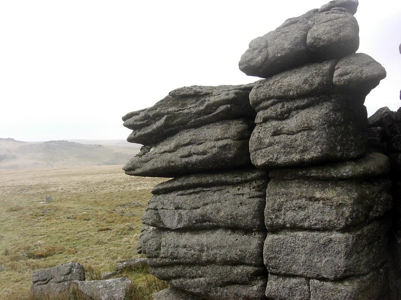 The long ridge hugging the east side of the West Dart River north of Two Bridges is crowned by many rock masses, the highest of which is Higher White Tor at 527m above sea level, commanding stupendous 360-degree views from its grassy summit that embraces much of the centre of the moor and beyond to Hamel Down and Ryder's Hill. Eric Hemery (EH, 1983) describes it as "A large pile, its superiority in height over its sister tor is enhanced by its position on a conical hill on the crest of the ridge. Views are extensive, ranging from Cut Hill, Black Ridge, Whitehorse Hill, Quinters Man and Siddaford Tor in the north..." 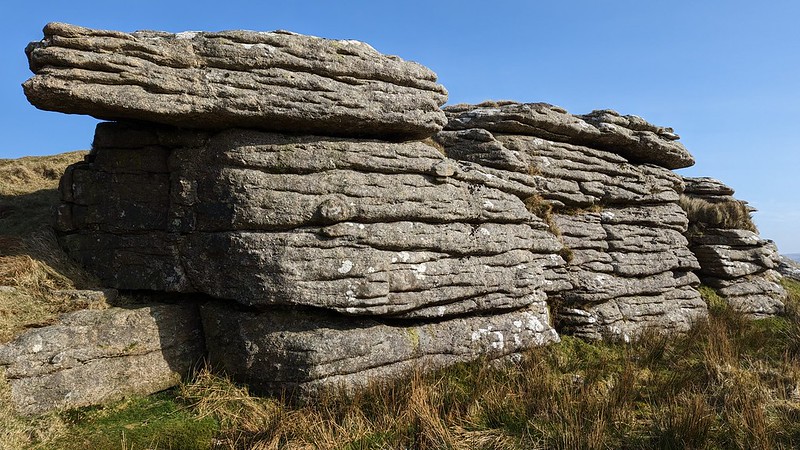 The arrangement of the tor is rather strange in so much that its outcrops are widespread and bisected by the Longaford Newtake that runs between the foot of Crow Tor towards the Cherry Brook in the east, a wooden stile enabling access to both sections. The largest rocks are to the south of this wall, where the tor's almost pancake-like top is seen to project over the land capped by the pimple of a small cairn. The tor also boasts a xenolith noted by Josephine Collingwood (2017) at SX 61950 78571 that resembles a whale in miniature, and to the south of this overlooking Longaford Tor there is evidence of prehistory that EH mentions; "A ruined double stone row on the south slope of the tor was surveyed by G. M. Spooner (editor of RHW) in 1952; in itself a monument unremarkable, it is notable to come upon it on the crest of this lofty, tor-embattled ridge." 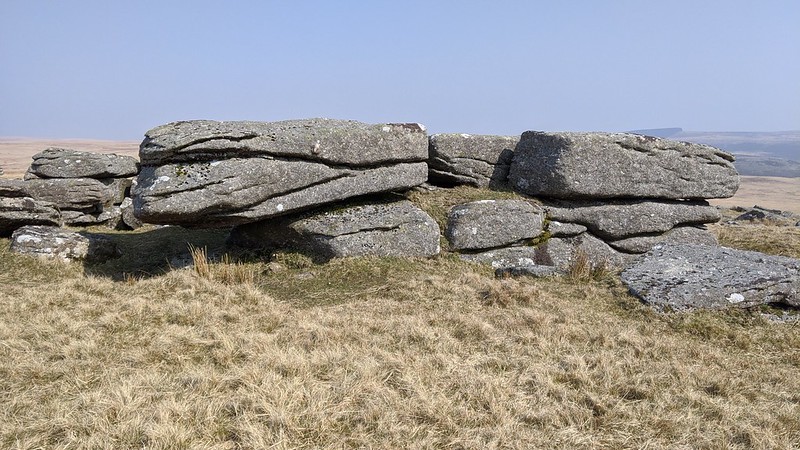 Across the Newtake wall, a further set of outcrops lie. These are lower in stature and resemble a small courtyard. The east side of Higher White Tor, where the gradient steepens suddenly, is strewn with clitter and it is highly likely that some of it was used to construct the impressive newtake walls dividing up the moorland here, and is indicative of a once much larger tor on the hillside, a tor that has somewhat lost its core but nonetheless possesses memorable views with some notable points of interest surrounding it. 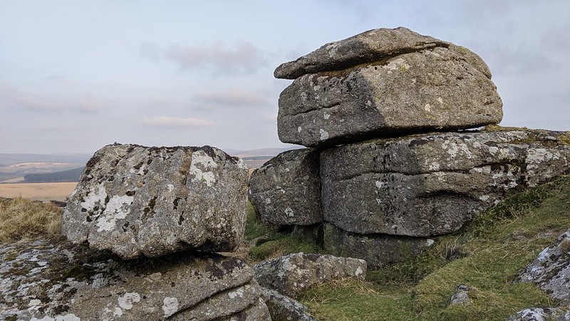
| ||||||||||||||||||||||||||||||