TORS OF DARTMOOR
a database of both lesser- & well-known rocks and outcrops
Hole Rock
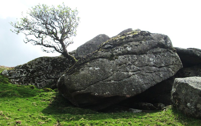 Although marked on OS maps by this name the whereabouts of the actual 'Rock' remained a mystery for many years. William Crossing mentions the location on p298 of the 1912 edition of his Guide (reprinted 1990) whilst describing the boundary between Ilsington Parish and Manaton in Hound Tor Combe. His quotes 'The lsington and Manaton line then runs on to the Prince of Wales bond stone, then to Hole Rock and thence to the Becky'. On the very next page he gives the following 'South of the tor (Leighon) is the boundary line just described which here runs from Prince of Wales Stone westward to Hole Rock and this we cross on our way to Smallacombe Rocks, a large cluster of granite masses placed, like Leighon Tor, on the slope forming the eastern side of Hound Tor Combe.' 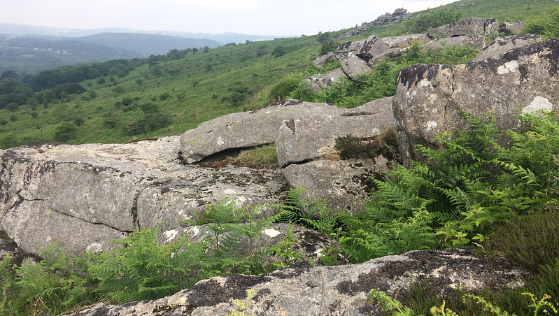 However, the author neglects to comment on the square topped boundary marker that is inscribed 'HS' on the western side of Hole Rock presumably for Hole Stone. This boundstone is first mentioned it seems by Dave Brewer (1986) but he misleadingly says it is on the side of Smallacombe Rocks. The marker is actually set on the west slope of Hole Rock just below the main outcrop. Underrepresented by the OS the interpretation of rockpiles on the east side of Hound Tor Combe has led to much confusion over the names and locations. 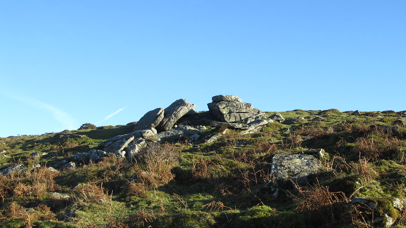 In recent years Tim Jenkinson (2015) has attempted to clarify the locations along the valley side. Hole Rock is a rather scruffy and overlooked small tor with scattered clitter on its west side, and working with the descriptions of previous authors TJ concludes that it is situated mid way between Smallacombe Rocks and Leighon Tor he writes 'Taking a northern direction from here (Smallacombe Rocks) along the valley side we soon come to the lowly pile that is known as Hole Rock most notable for its boundary stone on the west side inscribed with an HS for Hole Stone and near to this there is a discarded millstone.' 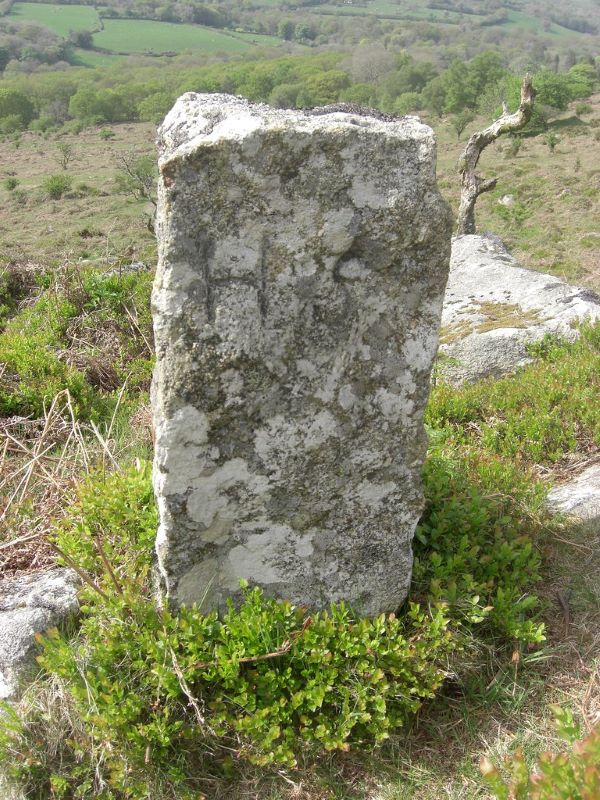
| ||||||||||||||||||||||||||||||