TORS OF DARTMOOR
a database of both lesser- & well-known rocks and outcrops
Holne Chase Rocks
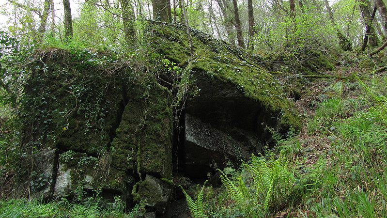 On the peninsula of the private land named Holne Chase, these outcrops can be seen when walking the track (with kind permission) beside the Double Dart, a name sometimes used for the river downstream from Dartmeet. Here we have two main ridges of metamorphic rock that stretch up the steep, unstable slope. The eastern of the two is the more impressive and conspicuous from below. 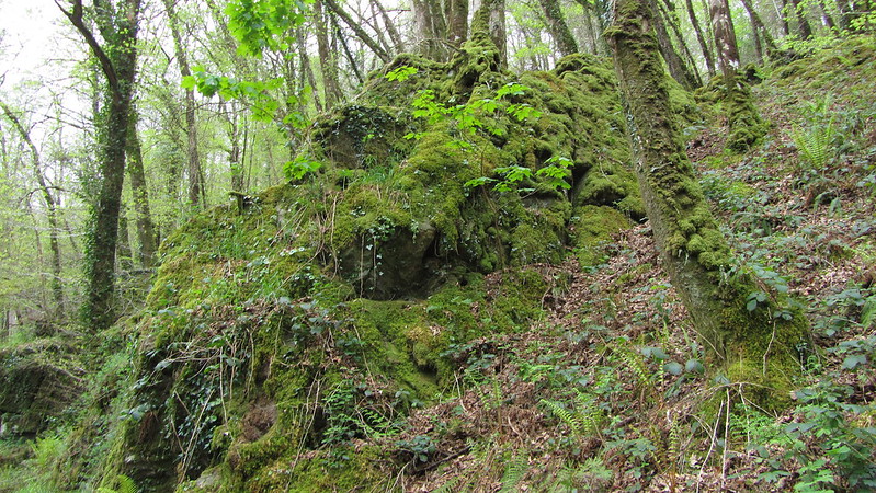 The two crags are moss-covered but in places reveal angular jointings like cubes that tower above the onlooker. The dark masses cover a relatively small area and are partly engulfed in vegetation but would have once been part of a blissful scene looking across the river to the Lovers' Leap and stupendous Landscore Tor. As well as Eagle Rock, these impressive tors would have dominated the river as it meanders beneath the billowing hills, and it is little wonder that Crossing included it as one of his 'Gems in a Granite Setting' although now, the valley has been afforested and views are restricted. 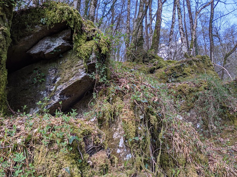 The rocks are noticeably underwhelming in comparison to the huge sentinel of Eagle Rock that is found a short way upstream on the same bank, but these outcrops are still characteristic and overlook the magnificent Double Dart, a river that has carved its way through the very heart of the moor to reach this point. It can be a ferocious river at times, swelling to become a formidable force during the winter months, one which has moulded a beautiful riverbed revealing rock basins and deep, swirling pools that stand testament to when the river is in spate. 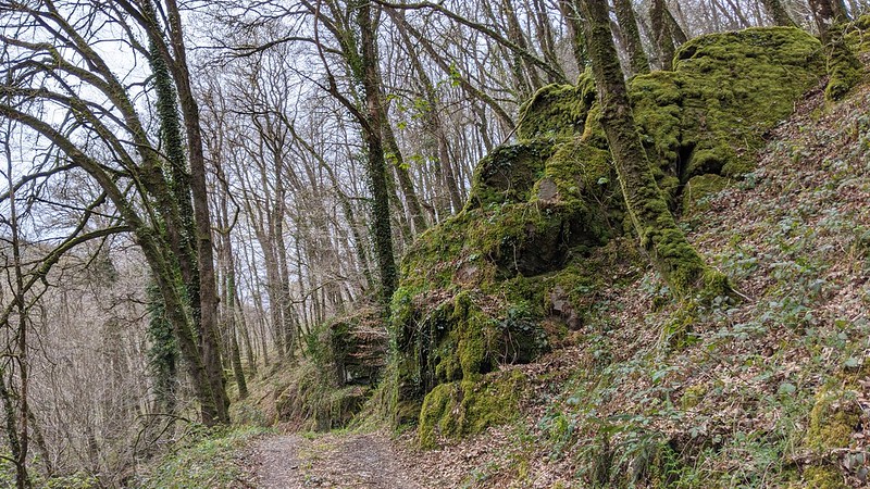 Holne Chase Rocks are easily reached by following the riverside track/drive towards Eagle Rock from the south, but be aware that as mentioned previously the area here is private land, so in order to visit the rocks you must seek permission from the landowner before proceeding.
| ||||||||||||||||||||||||||||||