TORS OF DARTMOOR
a database of both lesser- & well-known rocks and outcrops
Holwell TorHolwill Tor, Holewyltorre, Ovals Tor
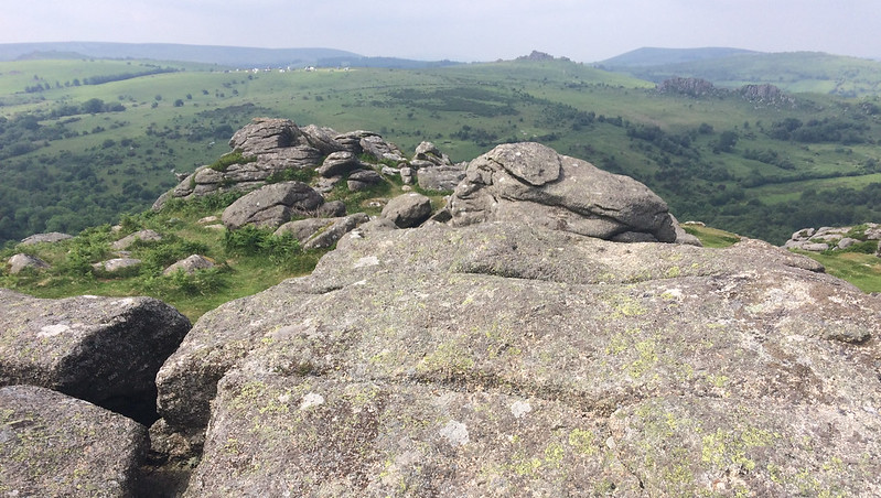 This is a substantial granite tor and impressive when viewed from Houndtor Down to the west. The north part of the tor has been quarried out, or hollowed, with a footpath cutting through it from the Haytor Granite Tramway in the direction of the Becka (Becky) Brook. It comprises a number of interesting outcrops with a flattish summit affording a wonderful vista. William Crossing describes it; "Crossing the tramway we direct our steps to Holwell Tor, where the rock masses rise from an extensive clatter. The lower part of this is not more than about 100 feet above the Becky, and some 400 yards from it, but its higher part is twice that distance from the stream." 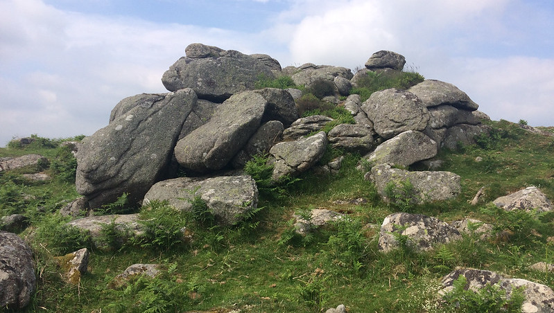 Eric Hemery describes the tor as consisting "of several massive piles all protruding from the side of the combe, buttress fashion, there being none on the plain behind the tor." He continues "The drop to the valley floor from the main pile though not more than 350 feet, is quite sensational." It is important to note that despite the tor's huge crown, it is very poorly represented on Ordnance Survey Maps and they give little representation or acknowledgement to the grand rocks on the crest of the hill. This is a glaring oversight. 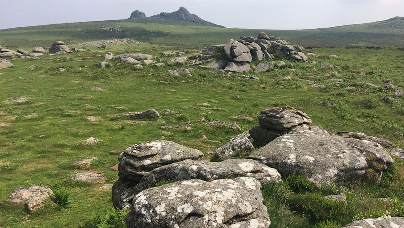 In the chapter on 'Railways' in Dartmoor: A New Study Michael Ewans explains that quarries at Holwell Tor were included in the project to transport granite along the Haytor Granite Tramway from 1820-1858 he writes "The trucks were marshalled in trains of about twelve and a pair of detachable shafts were added for the upward journey, also for the branch to the Holwell Quarries from which alone loaded trains had to climb. Hence the local jingle:
Eighteen brave steed and twelve old car,
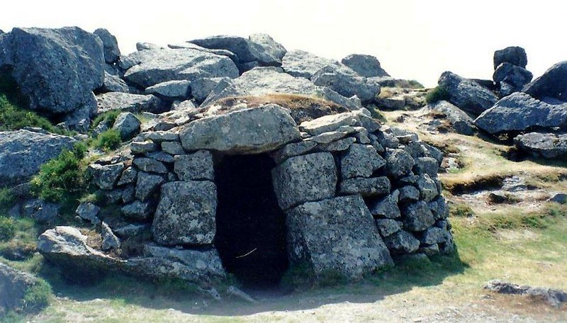
To take stone from Ovals Tor, The stallion in front they did place. It was John Murrin's, of Teigngrace." Not only do we learn the peculiar derivation of this alternative name for the tor, but also that the "Murrin family ran the smithy, inn and stables that had grown up beside the clay cellars at Ventiford the terminal basin of the Stover Canal." The main quarry at Holwell lies on the north side of the tor and to this day there remains a well-preserved quarryman's hut beside the track.
| ||||||||||||||||||||||||||||