TORS OF DARTMOOR
a database of both lesser- & well-known rocks and outcrops
Hunter's Tor (Lustleigh)Hunters' Tor, Hunters Tor
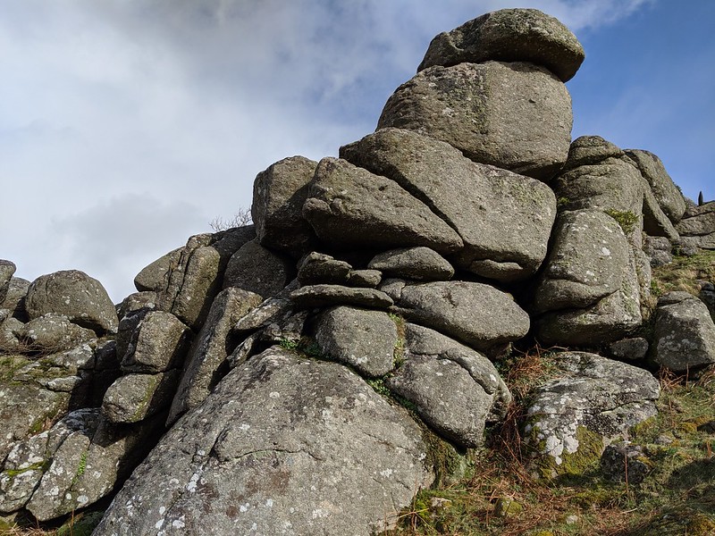 This is a fine upstanding tor that is situated at the far north-western end of the rock-studded hillside above Lustleigh Cleave. The tor is a fine outcrop, a large mass that is part involved in a wall on the very apex of the ridge where it drops down steeply to the River Bovey below. 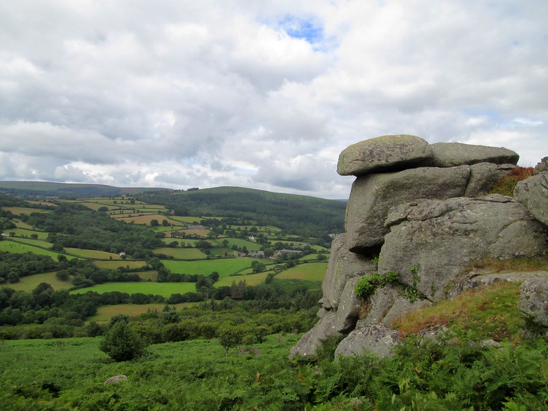 Hunter's Tor is a striking viewpoint where much of the eastern landscape can be viewed, including the celebrated Haytor Rocks to the south and Great Hound Tor a little west of south, and also the stack of Bowerman's Nose and the plateau tops of Hamel Down and Mardon Down. As such this area was seen to be of great advantage for a hill fort was constructed on the top of the hill, a little above Hunter's Tor, and is described as thus; "The hillfort survives as an oval enclosure measuring 116m long by 70m wide internally defined by three concentric ramparts with shallow ditches to the south east and two to the north-west. The entrance is to the south east and inturned creating an embarked causewayed entrance through the three ramparts. The outer rampart and ditch narrow to the north and west. A hut circle lies between the ramparts on the eastern side between the middle and inner ramparts." 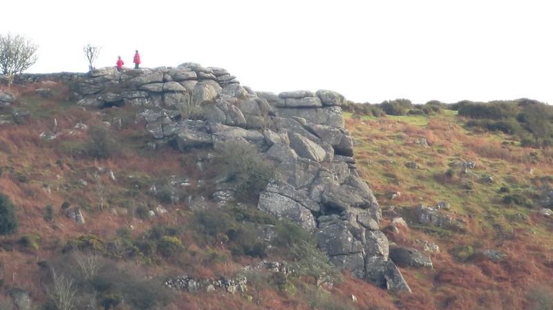 The tor proper is streaked with irregular jointings and from below, it appears to be a leaning tower that is almost parallel to the slope of the hill. A path leads to the tor from the north-west by Peck Farm, but it can also be accessed from the south-east, first passing many beautiful crags and tors that line the northern escarpment of the Cleave. 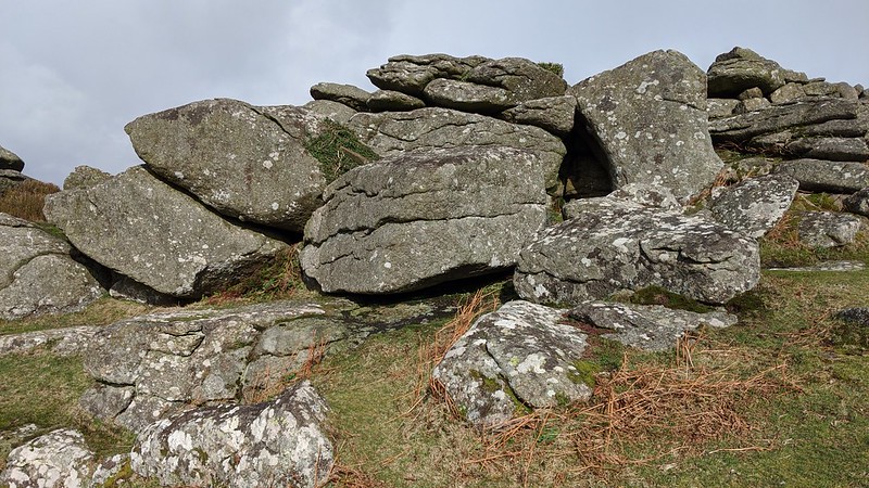
| ||||||||||||||||||||||||||||