TORS OF DARTMOOR
a database of both lesser- & well-known rocks and outcrops
Ivy Tor (Manaton)Water Tor, Eofede Torre, Eofede Tor 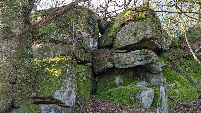 The sweeping hillsides emanating from Hound Tor Combe on East Dartmoor contain within their midst an unprecedented number of rockpiles, many of which are unnamed on maps. One of the most significant of these can be found between Great Houndtor Farm and the ruinous Greator Farm, about 1 kilometre to the east of Hound Tor. 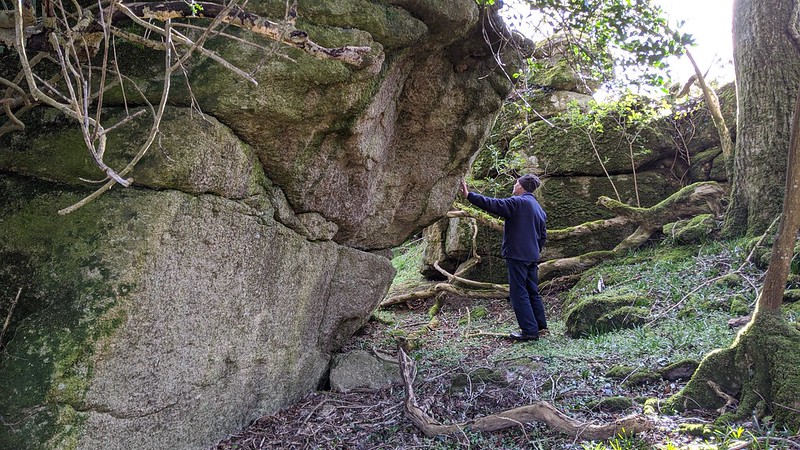 This is called Ivy Tor, an intriguing rockpile that is set in a small copse on a projecting spur. While historic OS Maps do show an elongated outcrop here, it is Dave Brewer (2002) who first appears to document it by name. In his book 'Dartmoor Boundary Markers', he writes: "'Of Langa stane on Eofede Tor' - From the long-stone to the Ivy Tor: 'Eofede Tor' is identified with Water, a corruption of which is thought to have been the origin of the Hundred of Heytor. In the eighteenth century Somers Cocks says that Water bore the alias 'Odeton', and field names perpetuate the association of water with the name 'Ivy Tor'. There are still fields called Higher and Lower Ivy Tor and the name Ivy Tor is identified with a large outcrop on Greator Farm. Other fields to the north of the tor are called Lower, Middle and Top Water Tor, in keeping with the corruption of 'Odetor' from the original 'Oefede'." It should be noted that Brewer uses both 'Eofede' and 'Oefede' in the same context here (we assume that the latter is a typo). 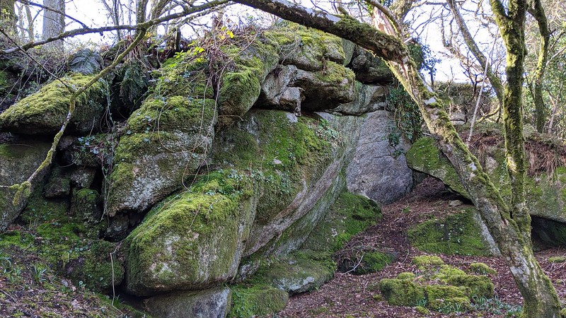 Like many tors with multiple names, it is quite usual for one to become more popular, but it is a curiosity that when inspecting Tithe Maps the majority of the tor actually falls within the field plots mentioned by Brewer, and not to the north of it, suggesting the name should actually be Water Tor. Could it be that, at some stage in the distant past, the landowner preferred the name 'Ivy Tor' and subsequently it endures with locals to this day? 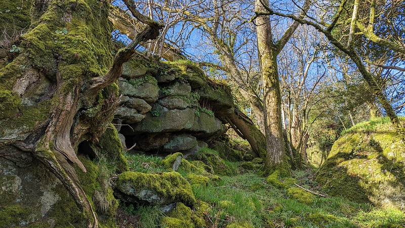 The tor itself does not disappoint and spans a considerable area from west to east, encompassing a field of rough pasture and the aforementioned copse. The rocks primarily sit heavily on the north side of the hill and tower above the onlooker. The most attractive part is set on the east side; its craggy buttress reaches skyward and is entangled in lush green moss and fern. Elsewhere, one can catch glimpses of neighbouring sentinels, notably the twin bosses of Haytor Rocks and the stupendous gem of the parish of Manaton, Hound Tor. To the south of the main tor lies a huge prominent rock in a field that is a conspicuous object from Smallacombe Rocks and Black Hill. Please note that Ivy Tor lies wholly on private land and that, should you wish to visit, you obtain permission from the landowner.
| ||||||||||||||||||||||||||||||