TORS OF DARTMOOR
a database of both lesser- & well-known rocks and outcrops
Ivy Tor (South Tawton)
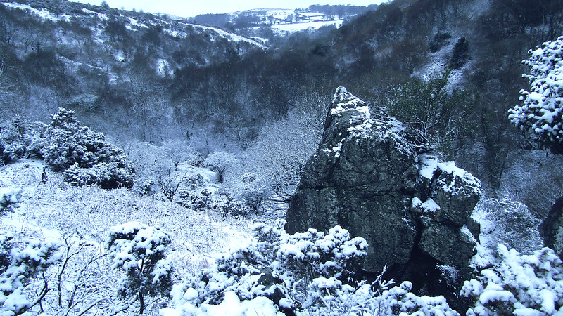 This is a splendid non-granite tor situated on the south side of Belstone Cleave and set in a lovely gorge through which the River Taw flows. The tor itself is marked on OS Maps and consists of two main outcrops. Hemery describes the features it has to offer; "...the river bends eastward to enter a gorge where the fine crag of Ivy Tor (approx. 800 feet) juts boldly from the south side. Similar in position to, but much smaller than the Dewerstone (Plym), it is composed of metamorphosed carboniferous rock. The lower buttresses of the tor are still richly cloaked in ivy..." 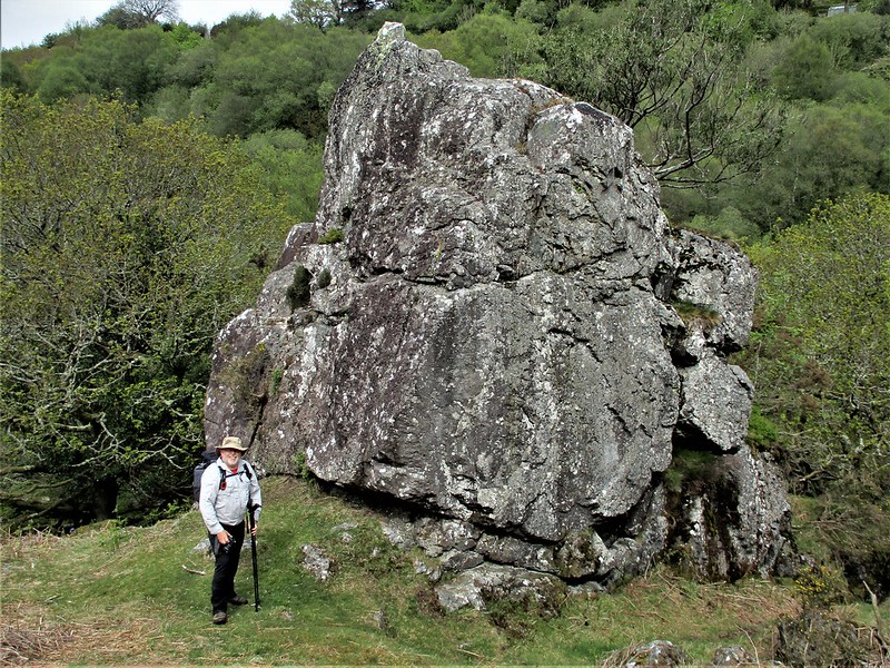 As author implies, the tor is best reached from this picturesque river section and can be easily ascended passing up between the two outcrops whereupon you reach the summit and can enjoy the panorama on view especially to the west along the Cleave. However, accessing from the south can be problematic as there is boggy ground combined with a jungle of ferns and gorse bushes in the summer months so that route to the tor is probably best avoided at that time of year. 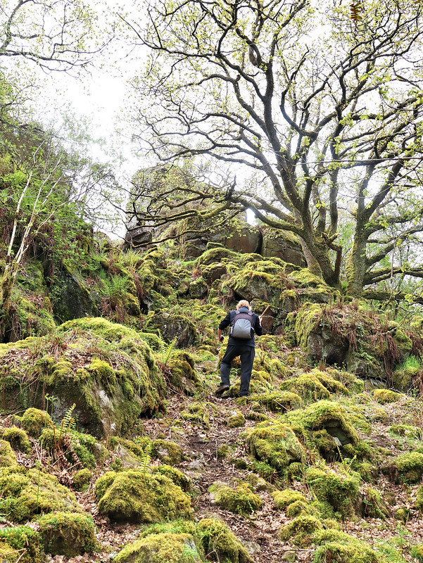 On the east side of Ivy Tor Water (a name that was once shown in the place of Lady Brook to the south but now correctly marked on modern maps since 2018 by the Ordnance Survey), there is a small, insignificant terraced pile (not pictured) at SX 6289 9364, that is mentioned by Paul Rendell in Dartmoor News as 'Little Ivy Tor', but in contrast on the lower western slopes just above the footpath there is a much better rock outcrop although this is clearly just an outlier of the main tor. Nearby in the region of SX 626934 are the remains of the old Ivy Tor Copper Mine that operated here in the 19th Century. 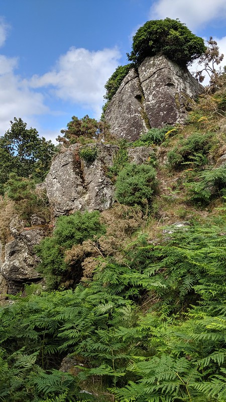 Chris and Marion Walpole (2002) state that one of the earliest references to the Mine comes from 1823 in a sale notice for the neighbouring 'Sticklepath Copper Mine' adding that by 1862 "only six people were employed" and that "the mine probably closed in the 1870s having yielded tin, copper, bismuth and mispickel". The authors explain that the upper adit is still visible and has "the classic appearance of a mine entrance" as it is "enclosed in a steep gully, overhung with mossy vegetation" and that "the head high opening still beckons the adventurous".
| ||||||||||||||||||||||||||||||