TORS OF DARTMOOR
a database of both lesser- & well-known rocks and outcrops
John Cann's Rocks
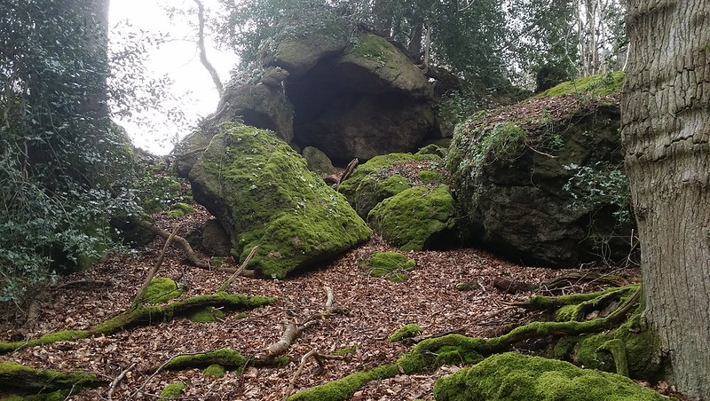 First described by William Crossing (1909) and rediscovered for the modern day by Steve McKeogh. In a letter to the Dartmoor Magazine edition 32 in 1993, he describes the rocks; "These are situated in Bearacleave Wood at SX 814798 and consist of a tor with several outcrops to the west and NW of the summit". He continues; "The unmade county road running west from Furzeleigh Cross is called Little John's Walk I assume this to be the same John. The summit itself is unimpressive but about 50 yards NW of it is a very striking outcrop, the lower end of which forms a sentry box or prehistoric bus shelter. Between the summit and this outcrop is a wonderfully gnarled dead tree. Another outcrop has an odd rectangular hollow behind it from which a tiny cave leads underground. There is no sign of any monetary treasure but these rocks are certainly a well-hidden gem." 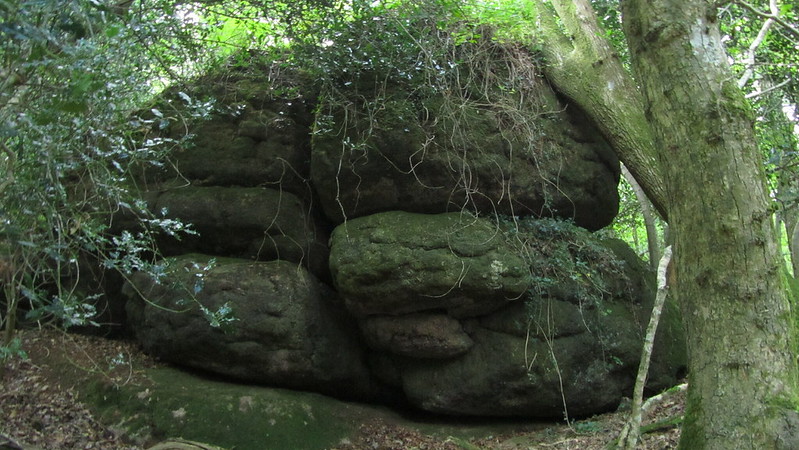 The 'monetary treasure' brings us to an interesting back story; John Cann was a "renegade" Royalist back in the days of Cromwell, in 1646. He was also the treasurer of the local group who stole 35,000 pieces of silver from his compatriots. Sabine Baring Gould tells the tale; "In the crevices of Bottor Rock near Hennock, John Cann, a Royalist, found refuge. He had made himself peculiarly obnoxious to the Round-heads at Bovey Tracey, and here he lay concealed, and provisions were secretly conveyed to him. Here also he hid his treasure. A path is pointed out, trodden by him at night as he paced to and fro. He was at last tracked by bloodhounds to his hiding place, seized, carried to Exeter and hanged. His treasure has never been recovered, and his spirit still walks the rocks." 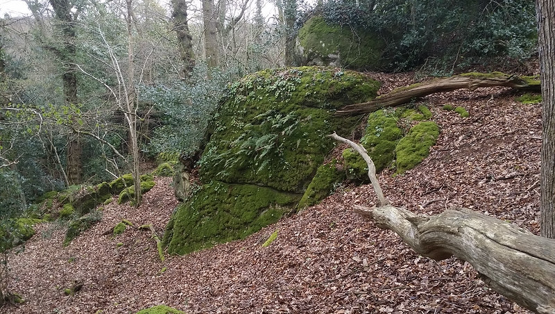 There is another large pile below, separated by the path from the better known higher outcrops situated within the garden of Stonelands at SX 8138 7993. Although private, it can easily be seen from the gate. 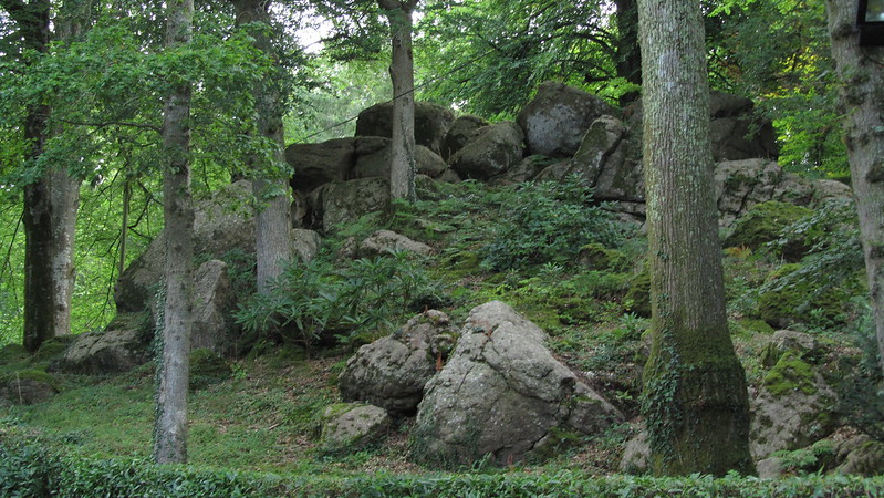
| ||||||||||||||||||||||||||||||