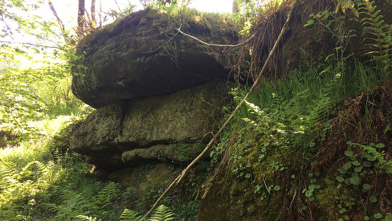
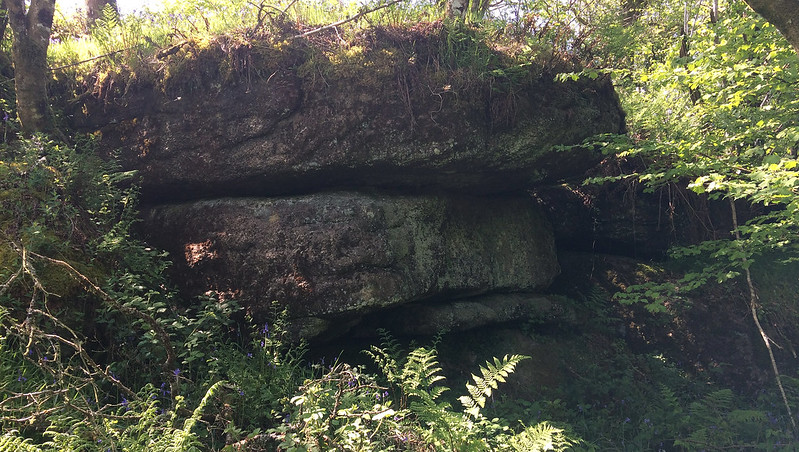
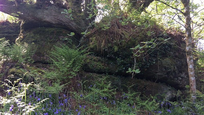
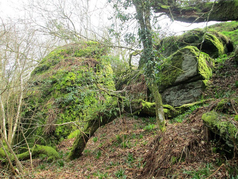
Set in that part of Kennick Reservoir that is reserved for anglers is this striking ruined tor situated on the east side of the lake but hidden in the trees. Its location is accentuated by the small stream below that makes its last trickle before entering the manmade lake.
There are numerous large rocks and boulders that have toppled down the slope here above the path that loops under the south side of the water, some presenting as huge buttresses jutting from the steep and otherwise overgrown hillside that is best avoided.
The outcrops are gnarled, have little jointings and are most characterised by the trees using them as sturdy supports to thrive in this sheltered combe.
Kennick East Tor
The map above is not a navigation tool and we recommend that the grid reference shown below is used in conjunction with an Ordnance Survey map and that training in its use with a compass is advised.
Grid Ref:
SX 8058 8442
Height:
280m
Parish:
Christow
Tor Classification:
Small
Access:
Private (but accessible)
Rock Type:
Granite
Credit:
Tim Jenkinson
Reference / Further Reading:
Tim Jenkinson: East Dartmoor The Hidden Landscape: Rocks and Tors (published privately) Max Piper: Dartmoor News Issue 178 April/June 2021: Exploring the Tors Around the Three Reservoirs
Please Support Us
We are proud to see the names of lesser-known tors are now being used more commonly on other websites and whilst this is to be encouraged we do request that, should you wish to use the information on this page, you provide a backlink to the website as reference, by copying the relevant address:
Please also consider a small donation to the upkeep of the site; any contribution goes toward the fees to keep the database online and any costs incurred when undertaking research such as subscriptions to online archives.