TORS OF DARTMOOR
a database of both lesser- & well-known rocks and outcrops
Kiln Down Tor
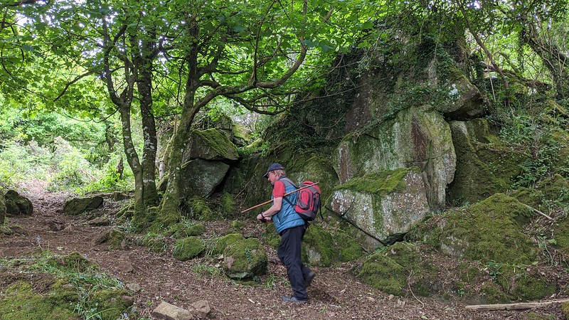 One of Christow's finest rockpiles stands on the north east slope of Kiln Down about a mile or so to the south west of the village. The Down here is actually crossed by a public footpath and when entering from the south off Bennah Hill the visitor is immediately drawn to low rocks spreading across the higher part with some larger slabs of non-granite in the trees and bushes to the right. However, it is further down the slope beyond this point where the most impressive outcrops lie. 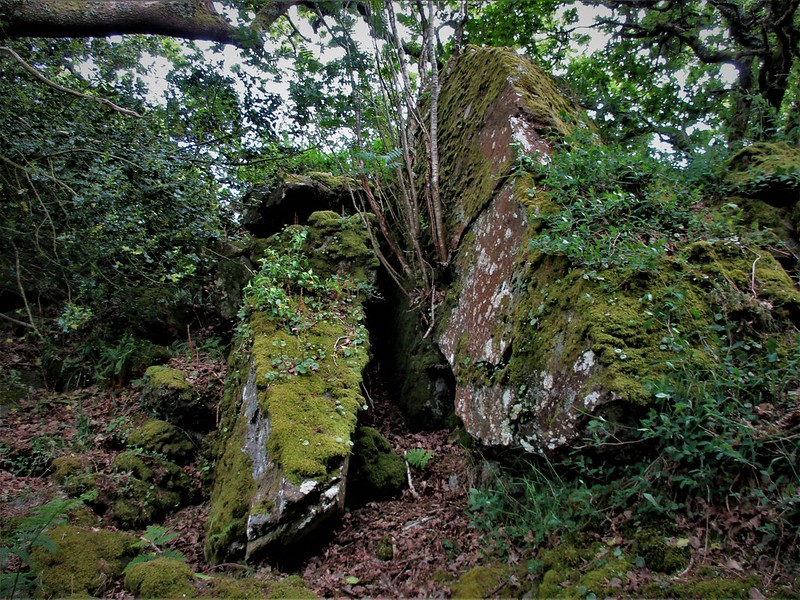 Now completely enshrouded and sort of semi-lost in the trees the main part of the tor is on the far east side of the down where two fine piles with a shaded avenue between are sprawled. The rocks here are mostly weathered, split and covered in vegetation but some are of considerable height entangled within the small wood. More of the tor extends over the wall into the private enclosures of the nearby Inn Down. Whilst this is an altogether secluded place it is clearly not unvisited as small paths and tracks pass below and up through the rocks. 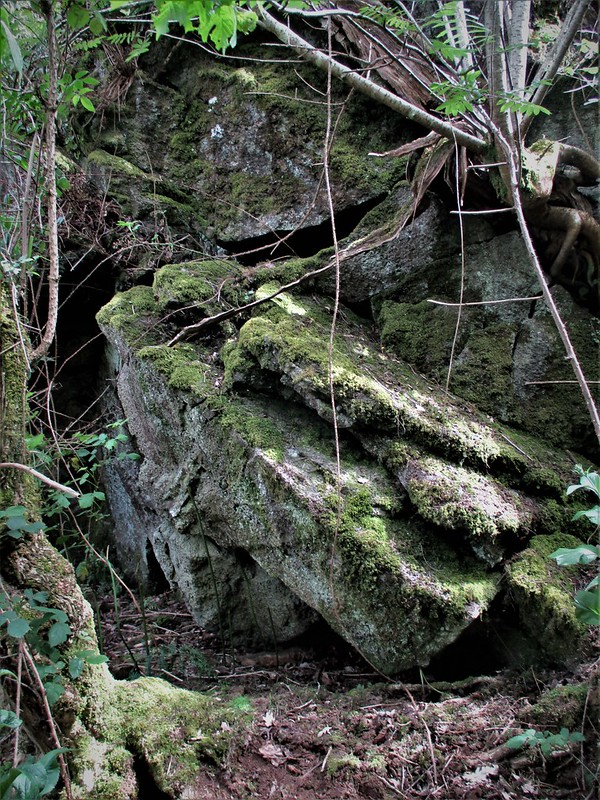 So given its size and proximity to the village and that it is so easily accessed from the nearby footpaths it is astonishing to find no reference to the tor in the literature nor any representation of the terrain on maps but that said Kiln Down does receive an entry in the Heritage Gateway for the area, but it is only for a suspected field settlement system. Andy Crabb (2014) writes: 'This field (called Kiln Down on the 1880s map) contains numerous possible remains of field boundaries and hut circles. The field requires a full walk over survey and this would make an excellent community/ local history group project'. If that project is ever undertaken let's hope that the resulting report also acknowledges the stature of the nearby tor and that its name is somehow re-established and it is recognised as a distinct and prominent feature within the parish boundary. 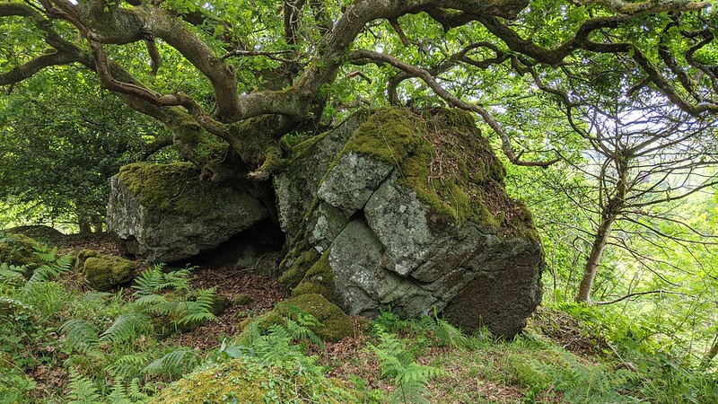
| ||||||||||||||||||||||||||||||