TORS OF DARTMOOR
a database of both lesser- & well-known rocks and outcrops
King's TorKing Tor, Great King Tor, Kings Tor, Kingstor 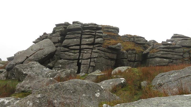 Although the name of King's Tor is nowadays well established on modern maps (Ordnance Survey, Harvey's etc) and included in Ringwood's book on Dartmoor Tors from 2013, it is the shortened version of 'King' that consistently appears in the literature prior to this time. Both Great and Little King Tors are marked on the 1840s Tithe Map of Walkhampton and two of the best-known Dartmoor authors William Crossing and Eric Hemery use this shorter name in all their publications. 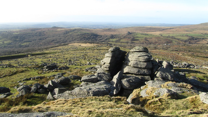 King's Tor is an impressive, large granite tor that is readily visible from the B3357 road to the north. The tor boasts two rock basins; a shallow one on the summit, and a larger, albeit still rather shallow, on a rock to the west of the summit pile. The disused Princetown Railway loops on the north, west and south sides of the tor, a popular track for cyclists. Hemery describes the tor as "A broken but finely shaped pile overlooking the second of the above two valleys. The summit pile is very large, its west side sculptured by weathering into grotesque faces and showing one immense, vertical parting; most of the Walkham tors are visible from it, and the entire middle-reach valley of the river."  As mentioned, the disused Princetown Railway loops around this tor, and many of its best features can be seen from atop King's Tor. It was the idea of Sir. Thomas Tyrwhitt, whose aim was to improve Dartmoor, choosing Princetown as the principal settlement of the moor, who decided to build a railway from Princetown to Plymouth. It would link the two large quarries at Swell Tor and Foggin Tor, transporting products such as granite and tin to Plymouth. It opened in 1823; the line closed for good in 1956. 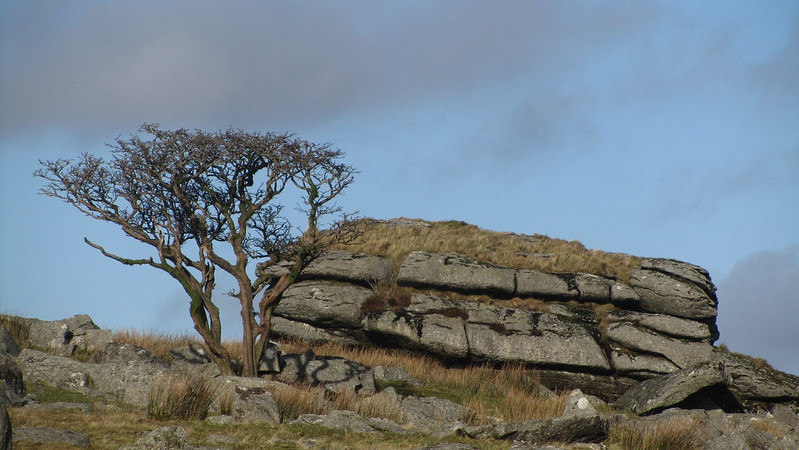
| ||||||||||||||||||||||||||||||