TORS OF DARTMOOR
a database of both lesser- & well-known rocks and outcrops
Kingshead Tor
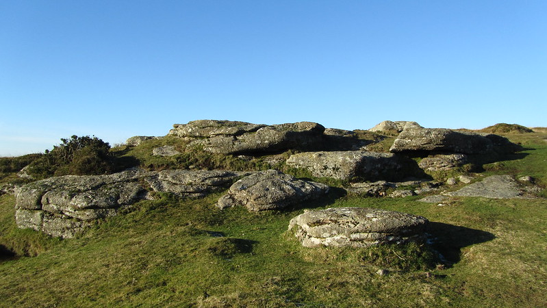 The first brief reference to this lowly tor by name comes in the tome High Dartmoor where Eric Hemery (1983 p650) announces that "Near and to the east of Aaron's Knock, is the small rock pile of Kingshead Tor (approx 1,600 feet), overlooking the cornditch wall of the Kingshead enclosures." For the history of Aaron's Knock, we turn to Dave Brewer (1997) who explains "as it is alternatively known, Herring's Knock is a natural pillar of stone facing north west about mid-way between Stoneslade Tor and the Blue Stone, the top being like two knuckle bones." He goes on "The stone bears no inscription but the boundary line that it is on can only date from that of the formation of Widecombe Town Manor which was not formed until after the Conquest." 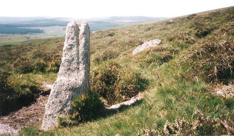 Writing in 1996 Tim Jenkinson gives more detail on Kingshead's position and appearance "Taking its name from the farmstead to the south east, this unremarkable tor rests just off the summit point of the ridge path on the crest of the hill as it begins its descent to Kingshead Corner. The lower and larger rock of the tor is grassed over and on its eastern side possesses a large flat slab that bears the hallmarks of a crude attempt to split it, as eight partly drilled holes run along its spine." He remarks upon the higher rocks the largest of which provides a seat from which to enjoy what Hemery had earlier described as a "thrilling vista" a grand sweeping view that includes among others the tors of Rippon, Saddle, Holwell, and Hay to the south and east. 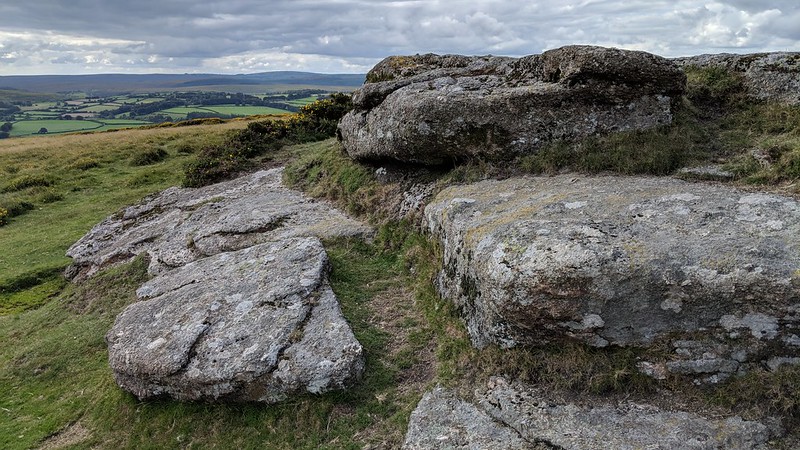 But there is a lasting sense of disappointment at the stature of the rocks as reflected in Jenkinson's concluding comments "Were it not for the treasured scenery on offer from these lowly and unobtrusive rocks, this tiny tor would probably go unnoticed by the walker proceeding north on the long and arduous climb across the bleak ridge of Hamel Down." 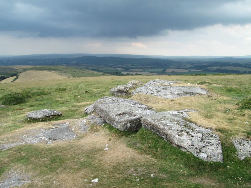
| ||||||||||||||||||||||||||||||