TORS OF DARTMOOR
a database of both lesser- & well-known rocks and outcrops
Knowle RocksThe Giant Tor 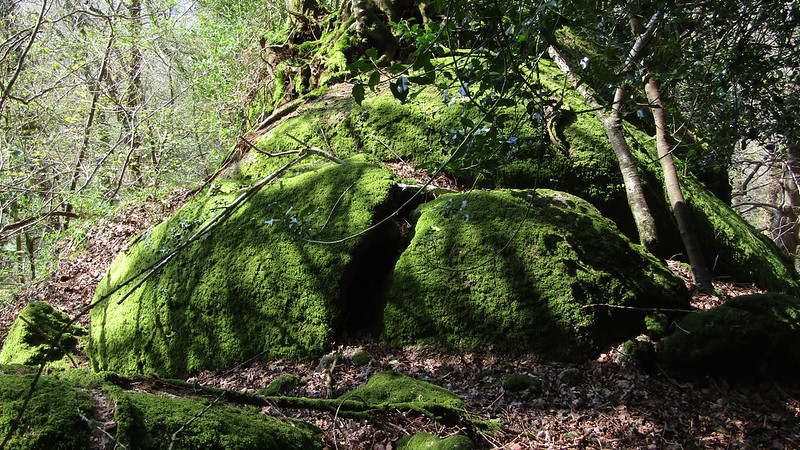 A quite magnificent valley side tor resides at the northern end of Higher Knowle Wood and extends downhill to the west for some 100 metres or so. The central and most impressive part at SX 7913 8088 comprises massive outcrops enveloped once more in trees and vegetation. The lowest outcrop not far above the road presents as a distinctive but rather vulnerable-looking stack at SX 7904 8086, intimidating the onlooker from below. Higher Knowle Wood is managed by the Woodland Trust and they give this description in their Management Plan from 2017 "Exposures of granite occur throughout the site, especially on the slopes, and are a feature typical of Dartmoor woods. The wood is of a mature high forest structure, which sits prominently with the local landscape, and with occasional areas of coppice along the rides, boundaries and beneath the canopy". 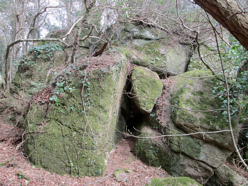 It is possible that the Trust is referring to Knowle Rocks when they mention constraints to their Plan for the Wood: "Some ground is steep and rocky which limits the practicalities of woodland management operations". Indeed, the slopes on the west side are particularly problematic and strewn with the large granite boulders and outcrops that make up the group. 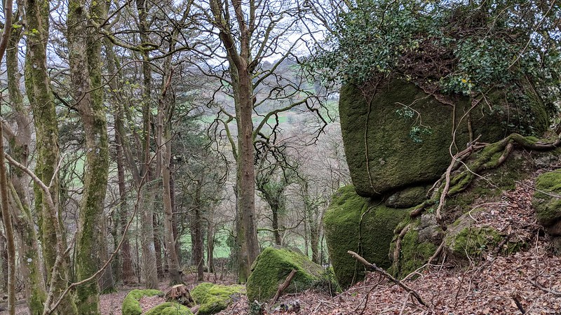 Richard Horsham first drew Tim Jenkinson's attention to these rocks in 2016, he was later to write an article that year for Dartmoor Magazine (number 123) where the name of Knowle Rocks first appears in print along with that of nearby Loxter Tor. Both sites are described as "formed of a hard sandstone, Woolley Grit, looking a little like granite yet a conglomerate, made from the weathering of granite and deposited by river action as gravel in a ravine". Tim went on to include both sites acknowledging Richard's contribution, in his own article on The Rock Piles of East Dartmoor The Hidden Landscape Part 2 in Dartmoor Magazine No 133 Winter 2018. Interestingly, the British Geological Survey interactive map shows much of the area that Knowle Rocks covers to reside within granite bedrock, and the lower outcrops certainly appear as such, although they have no doubt been influenced by the adjacent sandstone but the encroaching vegetation obscures any additional evidence to support further claims. 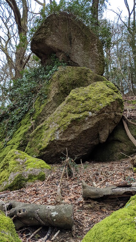
| ||||||||||||||||||||||||||||||