TORS OF DARTMOOR
a database of both lesser- & well-known rocks and outcrops
Ladybrook TorLady Brook Tor, Ottery Tor 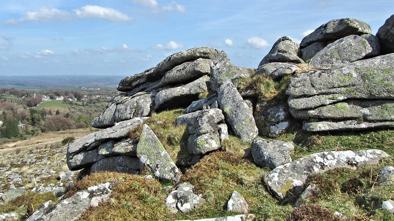 Eric Hemery (1983) was the first to give mention to this outcrop; "Southward, a small rock-core rises amid the wild granite debris, its cohesion enabling it to retain sufficient individuality to bear a name: Ladybrook Tor (approx. 1,250 feet). Its clitter is known as 'Foxes' Holt', a name used solely by OS for a small clitter on Cosdon's north-east shoulder." Tim Jenkinson writing in 1996 includes it in his original Lesser-Known Tor series from the Dartmoor Magazine; "This robust rock pile lies high on the hillside to the east of the River Taw at SX 625924. Its name is associated with one of Dartmoor's most vigorous debates regarding the apparent misplacement of Ivy Tor Water by the Ordnance Survey." 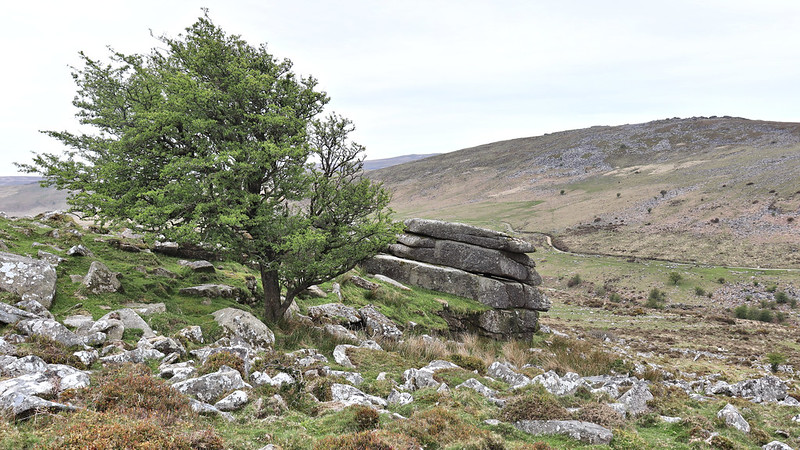 He goes on; "Hemery claims that the delightfully wooded stream to the north of the tor is in fact Lady Brook and not Ivy Tor Water as marked on maps." Indeed, the latter name is later corrected on OS Maps and attributed appropriately to the small brook that runs close to as one would expect, Ivy Tor a fine crag much further to the north and east at SX 638936. 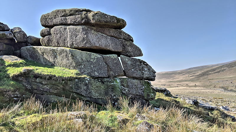 Sloping westward towards the river for some 50 metres or so the heavy clitter that Hemery refers to here sprawls beneath the main Ladybrook outcrop fanning in all directions, it is especially impressive when seen from the path on the west side of the Taw but is treacherous underfoot. Also known in Dartmoor Letterboxing circles as 'Ottery Tor' since the mid 1980s a name assigned by the Ottery St Mary scout group, Mike Brown (1995) is eager to describe this as a 'misnomer', even though it is well-known as an alternative and is preferred by some. 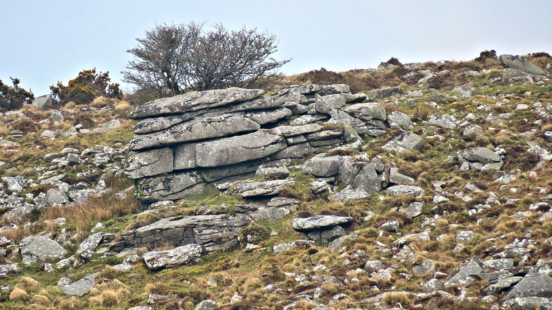
| ||||||||||||||||||||||||||||||