TORS OF DARTMOOR
a database of both lesser- & well-known rocks and outcrops
Laughter TorLough Tor, Loughter Tor, Laugh Tor, Lar Tor, Larter, Laddretorre 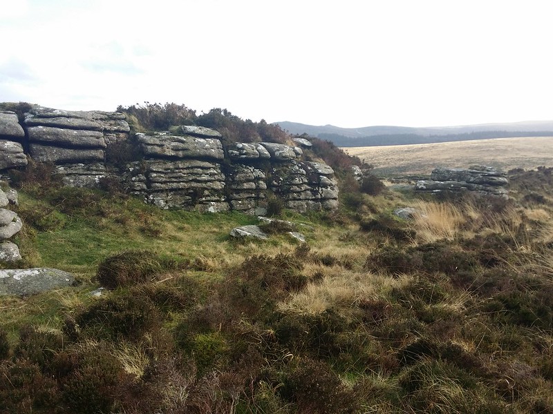 Laughter Tor has a magnificent vista well worth a visit to experience, but its granite outcrops are short and a little incentive for many walkers to stray further than the mighty Bellever Tor. Do not be misled, however, as the north-eastern outcrops, separated by a wall, are more impressive and there are several antiquities to explore. 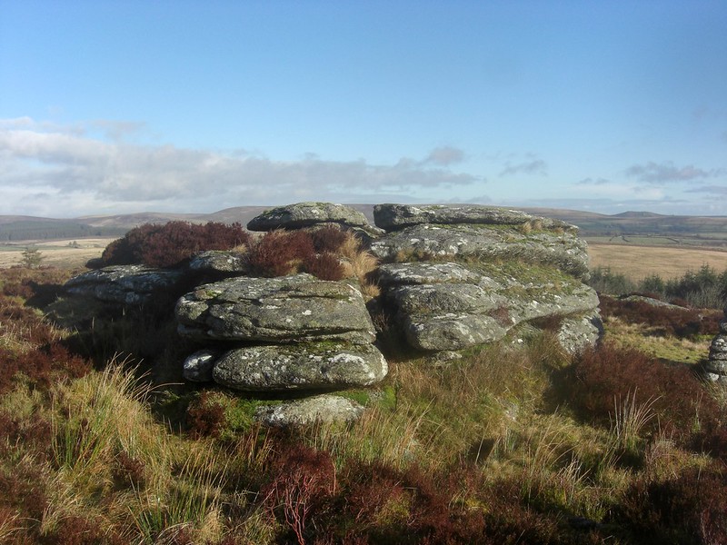 In 'Amid Devonia's Alps', Crossing says: "Mounting the steep bank we crossed the road, and passing up by the ruined buildings which were connected with Brimpt's Mine, we pointed straight for Loughter Tor. On the slope of this tor, near the summit, is a kind of small cattle pound, an oblong enclosure with high walls, having a gateway on its higher side." This curious enclosure is also known as a sheepfold, which, it is believed, was used for rounding up sheep. However, it is noticeably diminutive compared to other examples such as The Sheepfold below Stannon Tor, and would not have been commodious enough to accommodate many animals! 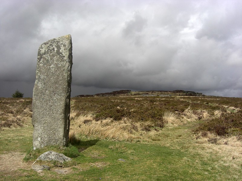 To the south of the tor is the Lough Tor Man (Mean), an impressive standing stone. Worth comments: "At the north-west end stands a fine menhir, when fallen this was measured at 12 ft in length, it has been re-erected to stand 8 ft 8 in. in height." Interestingly, he also uses the names Lar Tor and Larter as alternatives for Laughter Tor. Hemery suggested that the name possibly came from 'Lough', piling up peat turves in a pile to dry. Other theories also seem to exist. 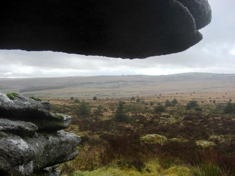 Just across the wall to the south-east of Laughter Tor lies a stone row, of which three pointed stones are most pronounced among the perpetual heather. Another artefact to seek out is a granite cross that is built into the wall, just to the east of the gate that provides access between the two main outcrops of the tor. Called 'Laughter Tor Cross', its previous or intended location remains unclear. It looks cross-like from the north side of the wall; to the south it is inconspicuous.
| ||||||||||||||||||||||||||||||
