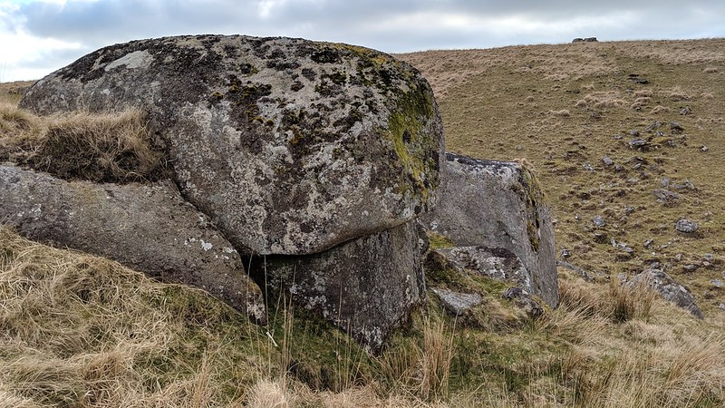
A small set of rocks to the east of Lints Tor. The area was named by Eric Hemery who describes the scene in High Dartmoor; "Marshy ground lies south of Dinger Tor, and a peat pool in its midst is seen from high ground reflecting the sky. The south-west portion of the marsh gives rise to several streamlets, all feeders of Lints Tor Brook. The headmire of the swift stream lies in a stony hollow at the south-east foot of Lints Tor, which I have called 'Lints Tor Hollow'."
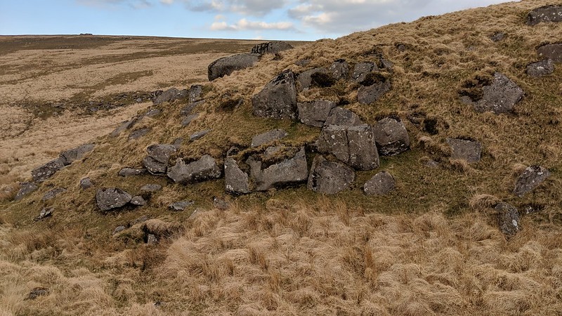
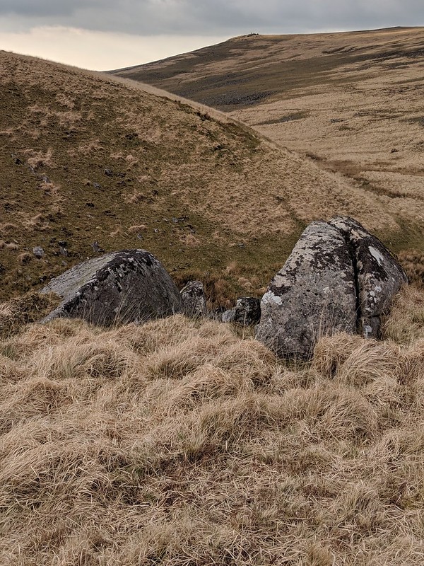
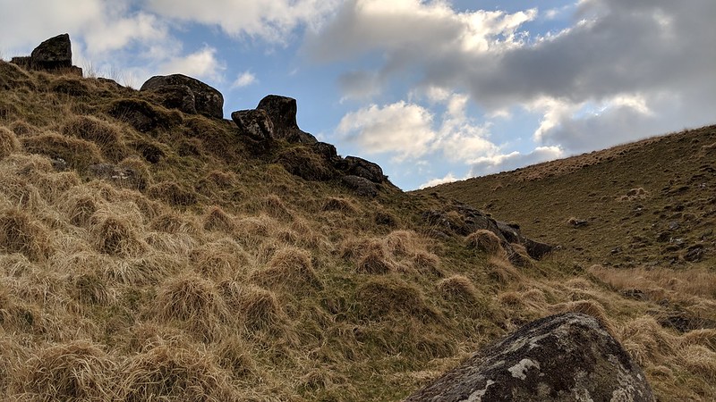
From a distance, the outcrop, on the slope of a spur separating the streamlets, is quite distinctive. But venture into the hollow and it is less impressive, with only a couple of small emergent outcrops distinguishable from clitter.
Whilst it is certainly not as grand, it is worth a diversion when visiting Lints Tor.
Lints Tor Hollow Rocks
The map above is not a navigation tool and we recommend that the grid reference shown below is used in conjunction with an Ordnance Survey map and that training in its use with a compass is advised.
Grid Ref:
SX 5816 8746
Height:
470m
Parish:
Dartmoor Forest
Tor Classification:
Emergent
Access:
Public
Rock Type:
Granite
Credit:
Eric Hemery Jason Maddick
Reference / Further Reading:
Eric Hemery: High Dartmoor
Please Support Us
We are proud to see the names of lesser-known tors are now being used more commonly on other websites and whilst this is to be encouraged we do request that, should you wish to use the information on this page, you provide a backlink to the website as reference, by copying the relevant address:
Please also consider a small donation to the upkeep of the site; any contribution goes toward the fees to keep the database online and any costs incurred when undertaking research such as subscriptions to online archives.