TORS OF DARTMOOR
a database of both lesser- & well-known rocks and outcrops
Little Hound TorLittle Whit Hill 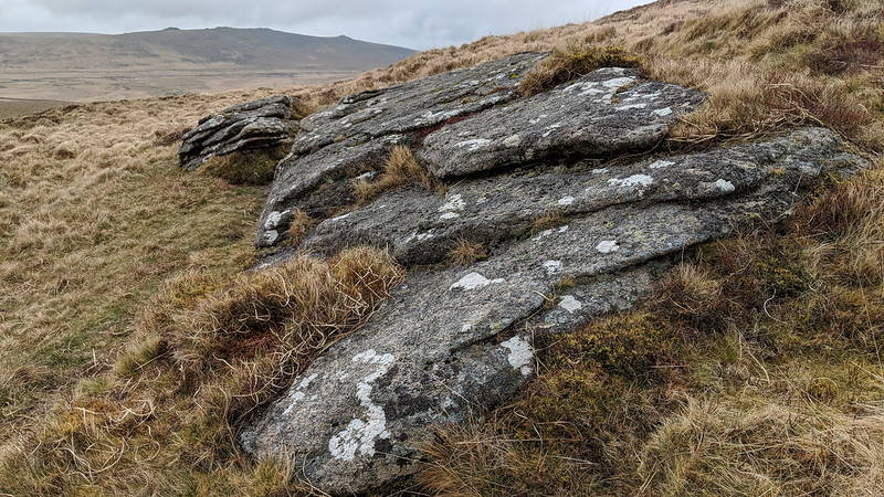 The exact location of Little Hound Tor is the source of some disagreement as it seems to have been moved on maps from the ridge connecting Cosdon to Hangingstone Hill above the Taw and North Teign watersheds to a position on Little Whit Hill to the north of present-day Hound Tor that Eric Hemery (EH, 1983) asserts is 'Round Tor'. The author explains; "...the ground rises gently to Little Whit Hill; the name given to this point on modern maps, 'Little Hound Tor', is an error. In any case, it is not a tor; a few stones remain of a completely ruined cairn, and on its west side is a very small rock-ledge." 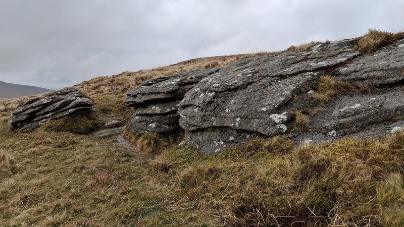 Despite EH's insistence from nearly 40 years ago the apparent errors remain on modern day OS Maps with 'Little Hound' still marked in the wrong place. The Perambulation of the Boundaries of Dartmoor Forest in 1240 authorised by Henry III gives reference to a point identified as 'Parva Hundetorre' and this Latin name roughly translates to 'Little' or 'Small' Hound Tor. But whilst this name has subsequently appeared on OS Maps and been given an identity in its own right, it is thought that the original perambulation point was actually at what we know today as Hound Tor at SX 6288 8899 and the OS interpretation for LHT is incorrect as it is too far north and on Little Whit Hill where no such tor exists. In essence, LHT has been misplaced from its original position. 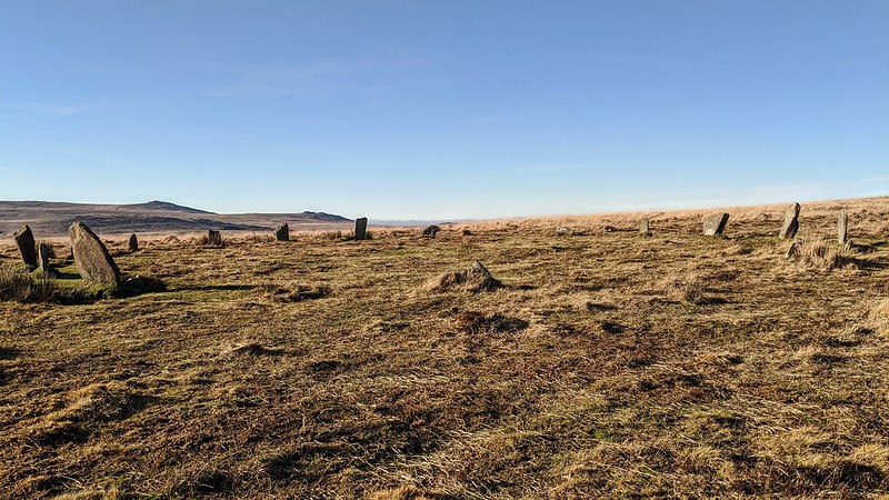 For the so-called tor itself, it is a minor area of bedrock situated just below the very summit of Little Whit Hill where bedrock barely protrudes far enough above the surface to get noticed by the walker. The main outcrop as the author describes is barely deserving the title of 'tor', but it nonetheless is a pleasant viewpoint where the huge bowl of Taw Marsh is to be seen from great advantage. The stone circle to the south and east, nearby, is much more famous than the diminutive rocks on this hill, and while sometimes associated with Little Hound Tor it is actually better-known as the White Moor Stone Circle, consisting of 18 stones. 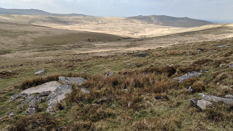
| ||||||||||||||||||||||||||||||