TORS OF DARTMOOR
a database of both lesser- & well-known rocks and outcrops
Little King's TorLittle King Tor
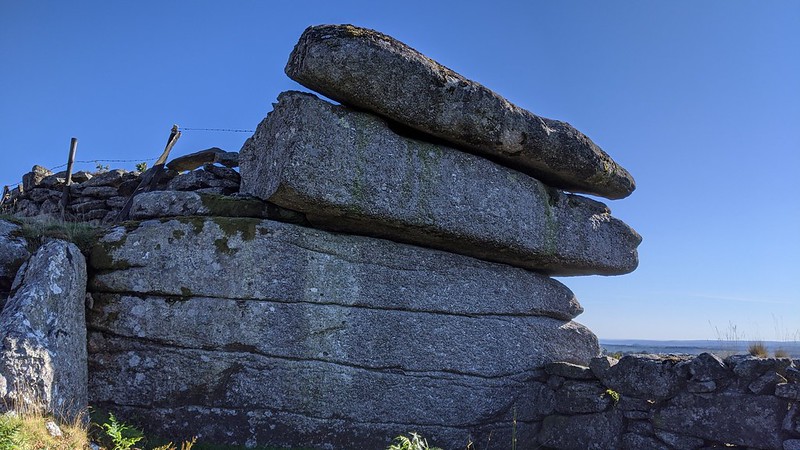 Although the name of King's Tor is nowadays well established on modern maps (Ordnance Survey, Harvey's etc) and included in Ringwood's book on Dartmoor Tors from 2013, it is the shortened version of 'King' that consistently appears in the literature prior to this time. Both Great and Little King Tors are marked on the 1840s Tithe Map of Walkhampton and two of the best-known Dartmoor authors William Crossing and Eric Hemery use this shorter name in all their publications. 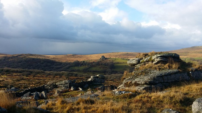 This is a deceptively large tor on the lower western slopes of the much better-known King's Tor. Another surprising omission from the Ordnance Survey given it is well recorded in the literature, by both Crossing and Hemery, the tor can easily be reached from the old Princetown Railway track. Whilst Crossing first mentions the tor in One Hundred Years on Dartmoor (1902 edition), it is Hemery who provides a more compelling description; "There are three piles, the highest having a rock-basin and an unrecorded logan, easily rocked. It is not possible to know even comparatively recent proportions and recent outlines of the tor, as the quarrymen have largely laid waste to it." The logan stone Hemery mentions is still very much in place; it still rocks too and is one of the few on Dartmoor to do so with relatively little effort. Tim Jenkinson also describes the tor; "There is evidence at the north western foot of Great King Tor of a once large and grand rock pile. Here the remains of Little King Tor are scattered north westward for a distance of 300 yards or so." 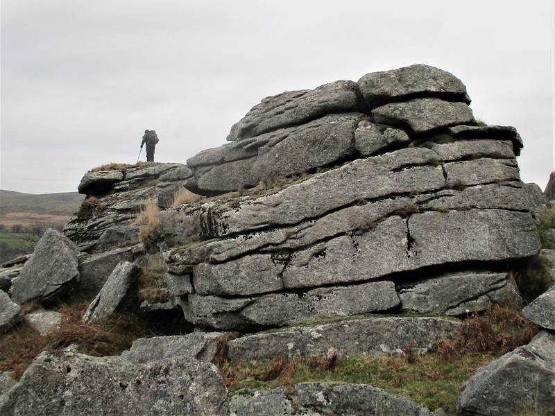 The writer also refers to a boundary stone at SX 55152 73883; "About 100 yards to the south west of the tor, close to the wall above Hucken Tor there lies a bound stone bearing the letters CW and the number two that Dave Brewer (1986) refers to as a mystery stone." This latter comment generated a response from Kath Brewer who stated that Paul Rendell suggested that it might be something to do with a boundary of Clay Sett with him writing an article on the subject in DM 20 from 1990. We assume that CW stands for Clay Works. Little King's Tor is dominated on its east side by its namesake, but its western side reveals an extensive tor, below the logan stone, extending down the hill that has cast a large clitter in the direction of Hucken Tor through the newtake walls. It is remarkable that the tor still survives as much of its substance has been plundered by the stone cutters, especially on the topmost pile that is encircled by another branch of the railway line. 
| ||||||||||||||||||||||||||||