TORS OF DARTMOOR
a database of both lesser- & well-known rocks and outcrops
Little Kneeset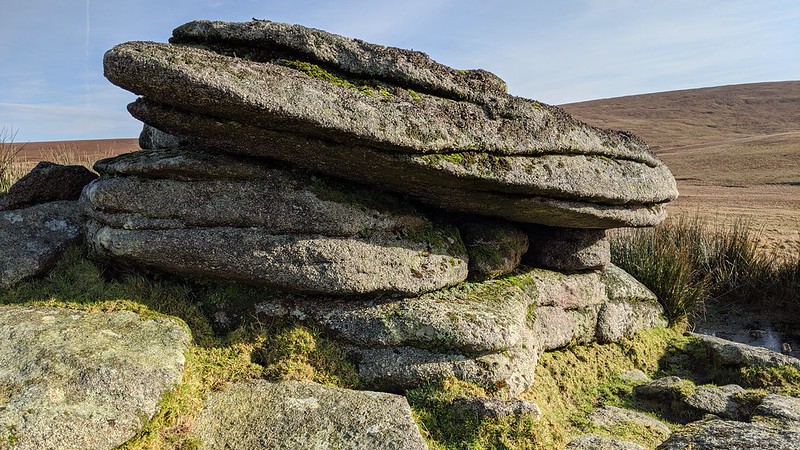 Bounded by rivers on three sides, Little Kneeset is one of Dartmoor's remotest hills and there are some interesting outcrops on the slopes with distinctive horizontal jointing in the granite. The northernmost outcrop at SX 5850 8446 is little-known and is situated above the Black Ridge Brook which begins its rather picturesque succession of cascades, enchanting the visitor who rambles in these parts. The low, ruined rockpile (pictured below) is partially covered with grass but affords a thrilling vista northward towards its higher neighbour, Great Kneeset, across the boggy plateau. 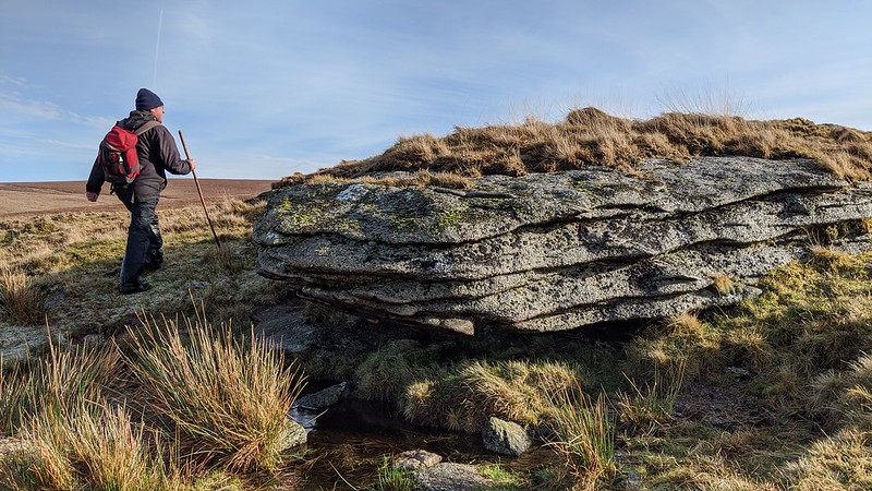 Some 250 metres southward of this spot at an elevation of 507 metres above sea level is the summit of the hill which from a geologists' perspective is rather disappointing, the top being marked only by a small cairn atop exposed granite bedrock at SX 5855 8422 (not pictured). It is, however, well worth heading even further south where the hill's towering neighbour, Fur Tor, stands proud against a backdrop of rolling high moorland packed with dense clitter. This special scene is described by William Crossing, in his book 'Gems in a Granite Setting'; "Seen from a point not far below Little Kneeset, on the bank of an arm of the Tavy, the appearance of the great hill covered with masses of granite from base to summit, and crowned with huge rocks, is wonderfully striking." 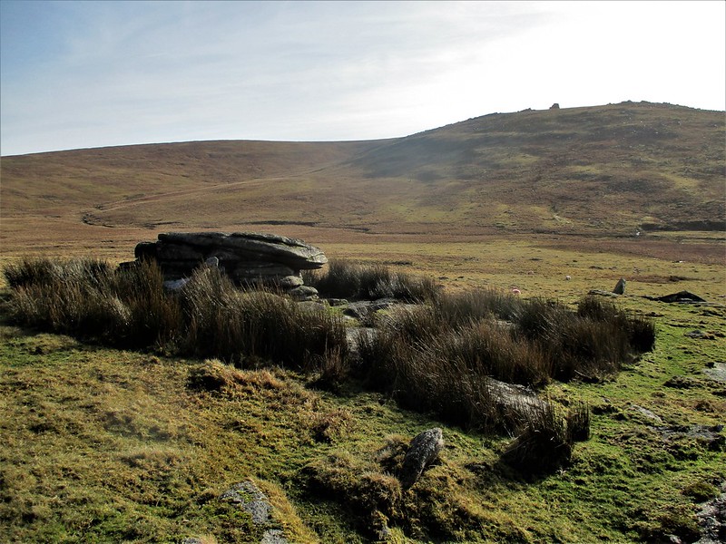 The southernmost outcrop on the hill at SX 5856 8404 warrants the most attention, presenting as a beautiful, modest overhang of granite surrounded by reeds amid a substantial clitter. This is actually part of a ruined tor with further granite evident on the western side of the knoll at SX 5844 8407 (pictured below), culminating in several ruined clusters that suggest a grander rockpile once stood on this eminence. Altogether this is a charming spot that can be reached from any direction, although the easiest approach in dry conditions is probably from Fur Tor which avoids the worst of the bog in this area of the moor, or in wetter conditions, approaching from the east might be a better alternative passing over the peat pass at the 515m spot height which is sometimes considered the 'true' summit of Little Kneeset. It is pretty hard going from any other direction. 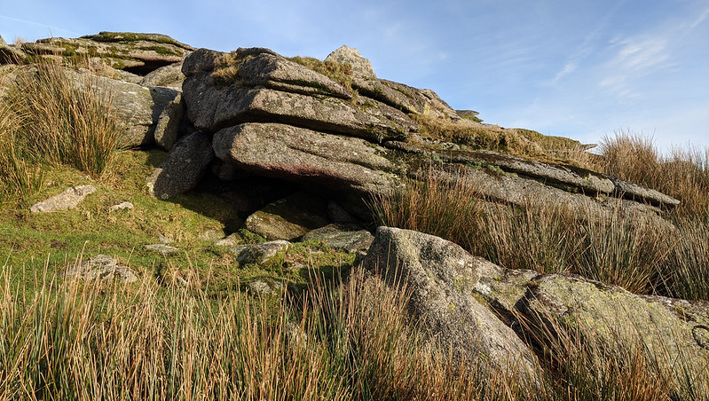
| ||||||||||||||||||||||||||||