TORS OF DARTMOOR
a database of both lesser- & well-known rocks and outcrops
Little Roos TorLittle Rooster, Little Roose Tor 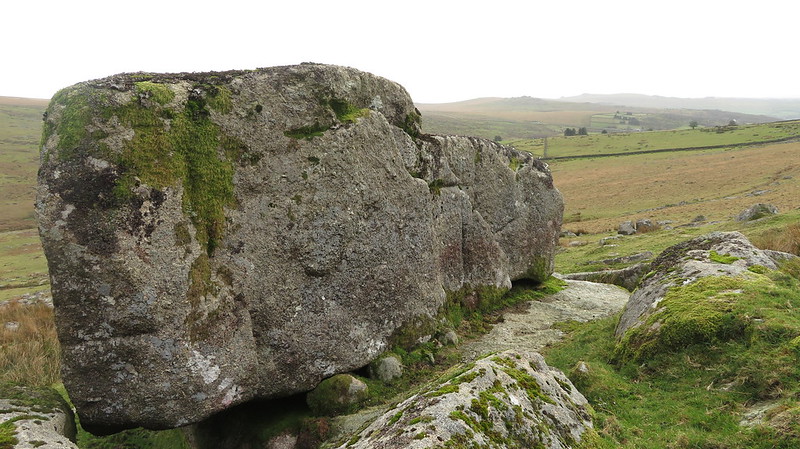 In an article from the winter edition of the Dartmoor Magazine of 1994 entitled 'In Search of the Tinners at Upper Merrivale Mill', Tom Greeves includes a reference to 'Little Rooster' as "a spread of rocks on the hillside immediately west of the mill, above the still flowing Grimstone and Sortridge Leat." 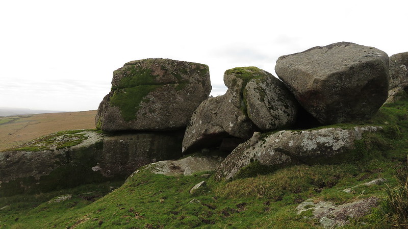 What remains of this small tor lies high on the west bank of the River Walkham at SX 5488 7669 and is scattered downhill in spectacular fashion above the leat. This striking clitter is clearly visible from the east and its pattern fits what Eric Hemery describes as an "ice transported ruin" a term that he uses for several of the tors on Dartmoor, but on this occasion, he seems to have overlooked the pile at this point. 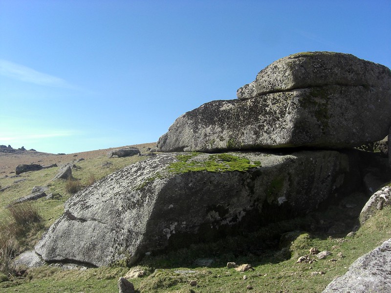 The largest rocks of Little Roos are just below the summit of the tor and rise to around 3 metres in height on the north side. Together they overlook a most picturesque section of the river as it flows beneath the intimidating rock-strewn slopes of Great Mis Tor. Set on the lower northeast slopes of the much better-known parent tor and about 600 metres to the north of Shillapark Farm, the little tor's ruin extends through the banks of now disused Longford Leat that runs parallel with the aforementioned wet leat. 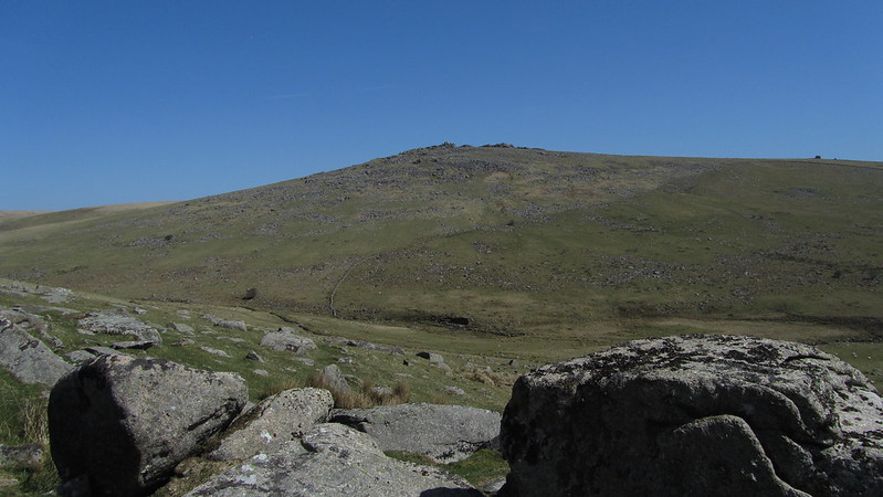 There are some super views to enjoy. From the highest rocks the bulk of King Tor is visible away to the south along with the skyline studded crags of Leather and Sharpitor beyond and nearer to the southwest where the twisted leaning stacks of Great Staple Tor loom. Judging from the abundance of huge boulders here, it is likely that before its collapse Little Roos Tor once formed a prominent feature of the Walkham landscape.
| ||||||||||||||||||||||||||||||