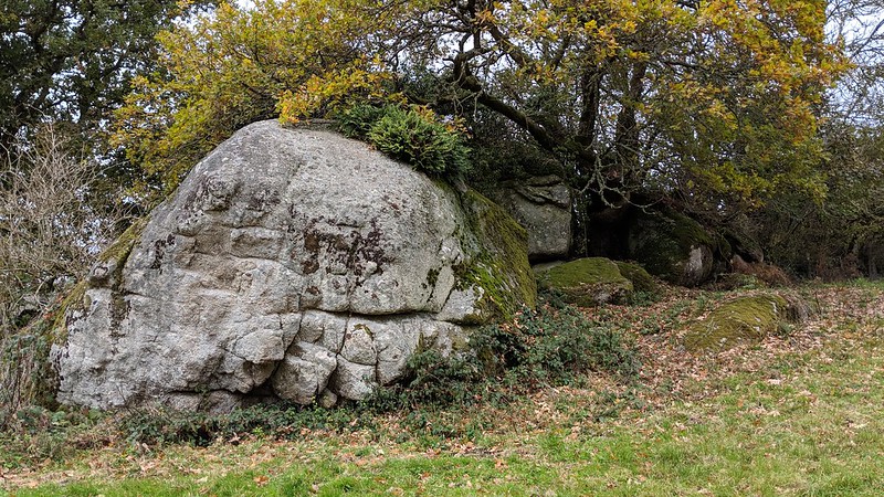
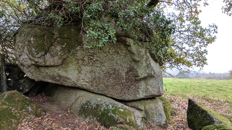
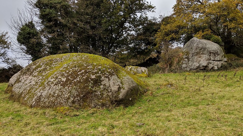
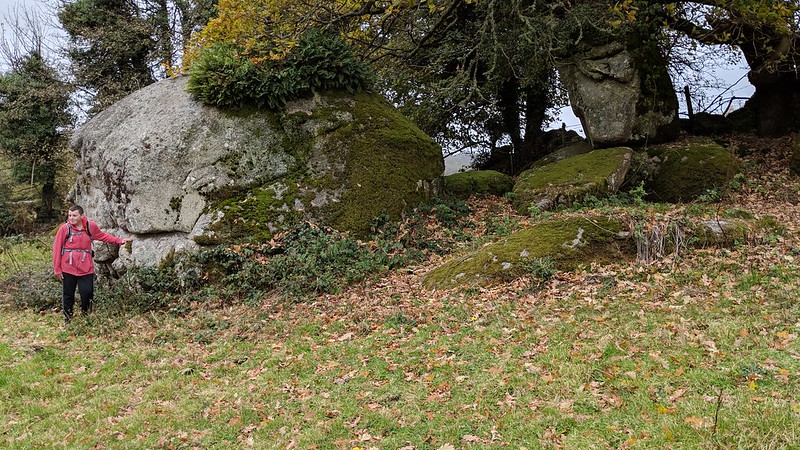
A small tor of at least three piles is set on the slope above the public footpath that runs from Leighon to the road near Southcott at Homer Heales. The most impressive part is that tucked under a tree beside the field wall.
Upon closer inspection what we have here is a magnificent collection of granite boulders, one sitting on a plinth of bedrock. It forms a pleasant avenue with short grass and moss. It seems to closely resemble The Path Fields in Lustleigh.
The name for this tor comes from the enclosure in which it resides as shown on the Tithe Map of 1836.
Long Heales Tor
The map above is not a navigation tool and we recommend that the grid reference shown below is used in conjunction with an Ordnance Survey map and that training in its use with a compass is advised.
Grid Ref:
SX 7534 7966
Height:
249m
Parish:
Manaton
Tor Classification:
Small
Access:
Private (but accessible)
Rock Type:
Granite
Credit:
Tim Jenkinson
Reference / Further Reading:
Tim Jenkinson: East Dartmoor The Hidden Landscape: Rocks and Tors (published privately) Devon County Council: Tithe Map of the Parish of Manaton
Please Support Us
We are proud to see the names of lesser-known tors are now being used more commonly on other websites and whilst this is to be encouraged we do request that, should you wish to use the information on this page, you provide a backlink to the website as reference, by copying the relevant address:
Please also consider a small donation to the upkeep of the site; any contribution goes toward the fees to keep the database online and any costs incurred when undertaking research such as subscriptions to online archives.