TORS OF DARTMOOR
a database of both lesser- & well-known rocks and outcrops
Lower Dunnagoat TorLower Dunna Goat, Dunnagoat Tors, Danagoat Tors, Dunnegoats, Lower Danagoat Tor 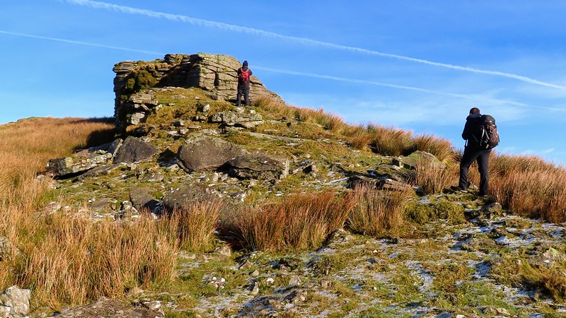 Along with the higher pile, the Danagoat or Dunagoat Tors were first highlighted by Samuel Rowe in 1848 where they are simply described as being "On Bridestowe and Sourton Common." They appear by the former name on late 19th-Century Ordnance maps of the area. 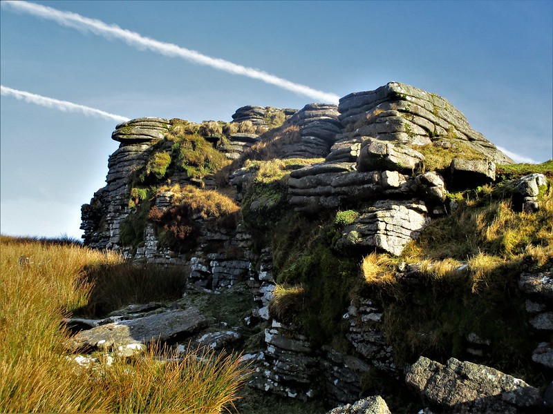 Later in 1867 the Tors are mentioned again, this time by Horace Waddington as part of his account of a walk across the north moor facilitated by none other than the noted Dartmoor Guide and founder of the Cranmere Pool Letterbox James Perrot of Chagford. Here we learn the origins of the name cited as Dunnagoat by the author but interpreted as 'Dun-a-coet', a Saxon phrase for 'underwood'. This point is agreed in principle by William Crossing in 1912 as possibly being derived from "the former presence of trees in the valley of the Rattle Brook. Even now in parts of it a solitary rowan, or oak, is to be met with." 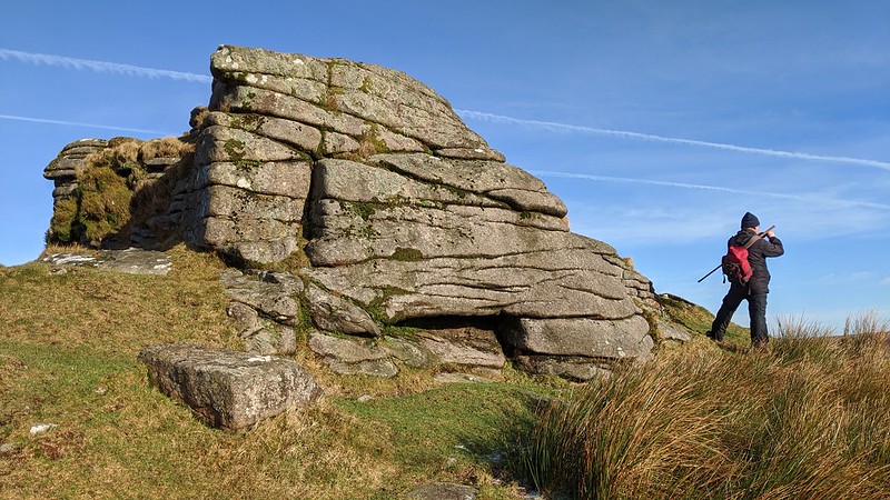 The lower pile is easily the best of the two Tors, as it has far more character and shape. Here on the western side it reveals an impressive fissured rock face. The tor remnant is very distinct and there is a fair sized clitter spread across the slope on the east side. Eric Hemery is equally impressed and comments: "The fine, long west face of Lower Dunnagoat Tor (1,820 feet) resembles a castle of which the upper part has been shot away; the granite is more cohesive than that of its sister tor." 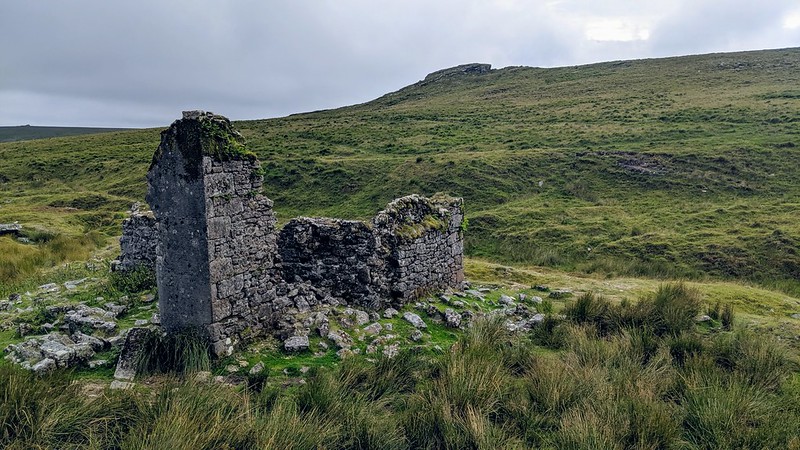 The views are naturally similar to Higher Dunnagoat Tor especially downhill towards the ruin of Bleak House by Rattle Brook, but at least you have the feel of being beside a tor of some substance here. Crossing explains that the building was "erected with some peat works further up the Rattle Brook but which were worked for a short time." He also comments on the name of the house "which its situation on a bare moor, at an elevation of 1,740 feet, renders very appropriate." Both the Tors and nearby ruin are well worth a visit but as the years pass by the masonry at the house is gradually disintegrating.
| ||||||||||||||||||||||||||||||
