TORS OF DARTMOOR
a database of both lesser- & well-known rocks and outcrops
Lower Field Tor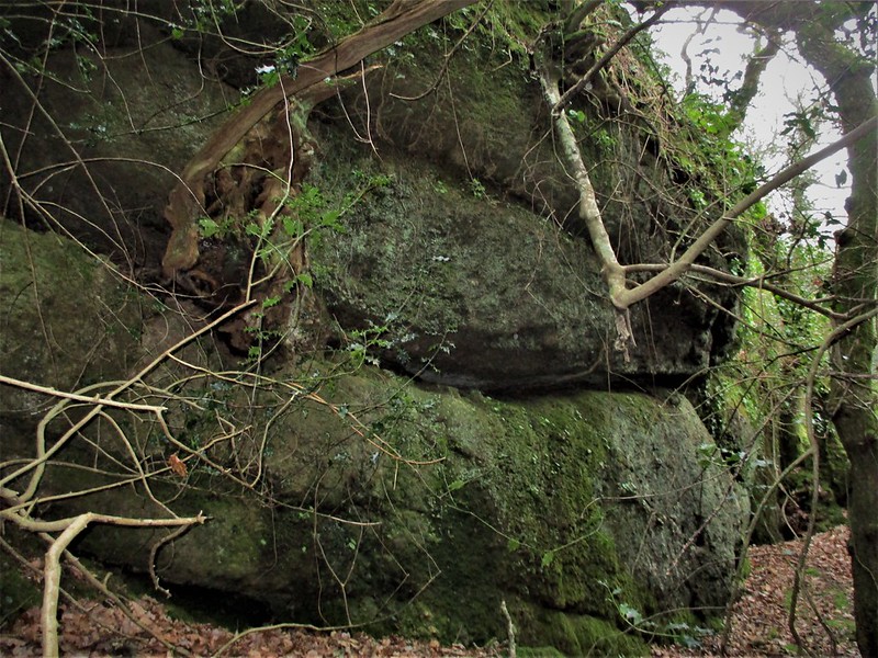 For both new and returning visitors alike, the unprecedented number of huge granite rockpiles in Shaptor Wood can be bewildering. As you progress from one side of the wood to the other, rocks of all shapes, sizes and physiques crop out of nowhere, while others lurk in the shadows and require occasionally difficult walks ducking under low tree branches to reach. 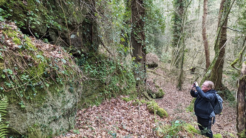 Hidden away within a rather secluded part of the wood, there is a considerable tor which seems to protrude from a spur. The highest rocks at SX 81465 80278 and SX 81498 80276 give rise to a huge rock ridge that sits somewhat precipitously on the hill which quickly becomes more akin to a cliff. It is quite tricky to traverse and perambulations are hindered by the slippery slope, sharp drops and low hanging branches. 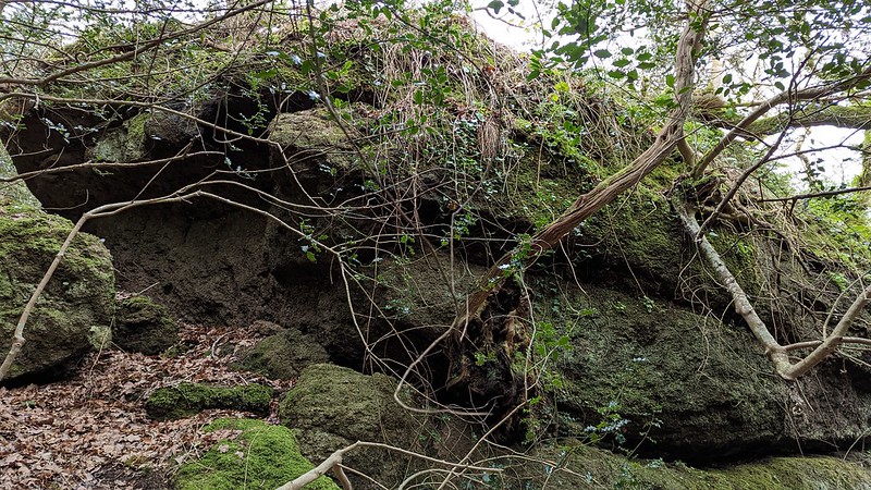 From the underside, the tor is somewhat obscured but that doesn't detract from the breadth of rock that edges over two streams that rush down the slope. It is a spectacle and its stature is better appreciated from the west side at SX 81467 80260. It is a typical woodland tor that is accentuated by moss, climbing plants and an abundance of branches and leaves. You can carefully climb to the top of this main section and glimpse, through the canopy, the high moor towards Haytor Rocks. The mossy carpet on the summit of this squat outcrop is breathtaking. 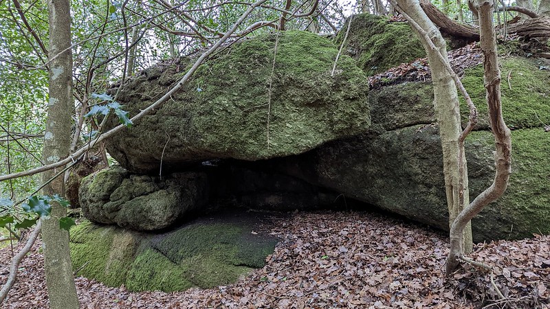 The name of Lower Field Tor is acquired from old Tithe Apportionments that show this plot of land as 'Lower Field'. The rocks, however, have spilled through various dilapidated enclosure walls which can still be traced, reminiscent of a time when the land here was farmland and not woodland. The tor is a splendid addition to the incredible boulder-strewn landscape of Shaptor Wood, with excellent tors that provide an enthralling, if somewhat chaotic, experience for the walker.
| ||||||||||||||||||||||||||||